Contact us
Get in touch with our experts to find out the possibilities daily truth data holds for your organization.
Persistent Monitoring
Natural catastrophe solutions
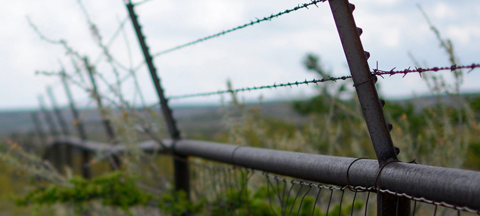
ESA CCM
ICEYE’s satellite constellation offers reliable access to high revisit synthetic aperture radar (SAR) data for the persistent monitoring of large and small areas – every few hours and in any weather. It's uniquely positioned to support the needs of the European security sector.
There's an urgent need for regularly updated information on large areas for crisis prevention, preparedness, and response for border and maritime surveillance in and around the EU. And ICEYE’s SAR satellite constellation delivers.
Multiple imaging modes provide unprecedented visibility and flexibility, enabling the monitoring of areas up to 50,000 km² in a single image and the ability to zoom in to areas of interest at very high resolutions down to less than a meter – day, night, and in all weather conditions.

ICEYE’s satellite imagery provides reliable access to near real-time data on any location on Earth. That data can be used to detect patterns of activity along borderlines and areas, enhancing surveillance capabilities to ensure security within the EU and fight cross-border crime. The images can be delivered up to several times a day if requested.

ICEYE’s near real-time SAR satellite images are well suited to monitoring wide maritime areas and vessel detection. They enable the monitoring of shipping routes for increased maritime safety, the detection and tracking of dark vessels to support port and fishery control, and the detection and observation of oil spills to combat marine pollution.
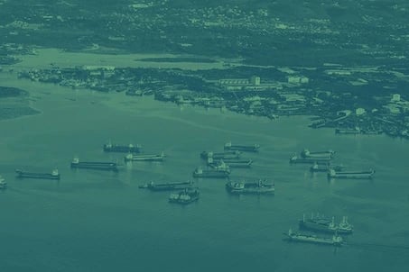
ICEYE’s highly responsive SAR satellites provide reliable geo-information on any region in the world – day and night and in any weather. They can be used to monitor remote areas and areas that are difficult to access and where security issues are at stake – all within just a few hours.
Base your mission on reliable, near real-time data acquired daily and even sub-daily. Get precise data and essential information that improves decision-making capability in extreme situations beyond anything that's ever been possible.
With the world’s largest SAR constellation, ICEYE delivers unlimited global access and the highest frequency revisits on the market.
Our SAR data is collected day and night and in all weather conditions – with the same high image quality. This enables the persistent monitoring of sea, land, and hard-to-reach locations.
The standard time from image acquisition to data delivery is 12 hours, with the capability to deliver imagery in as little as a few hours for urgent requests.
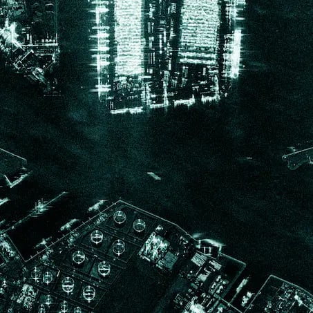
Ground resolution: up to 50 cm
Scene size: up to 15 km x 15 km
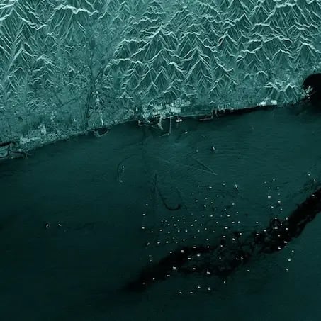
Ground resolution: 3 m
Scene size: 30 x 50 km
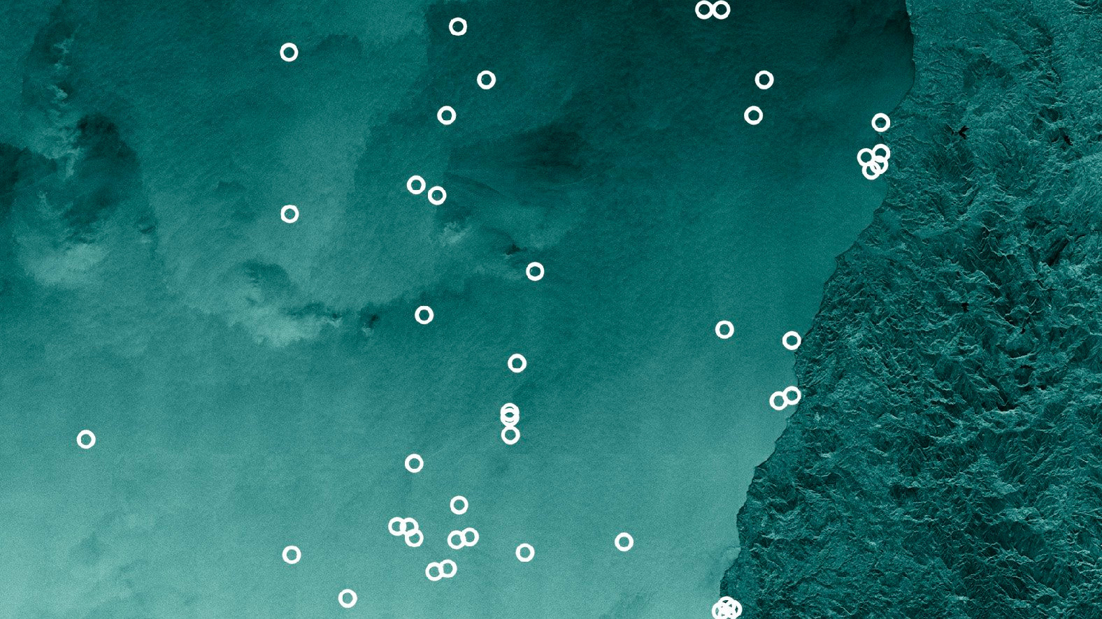
Ground resolution: 15 m
Scene size: 840 km x 100 km
Discover how SAR data can empower your organization. Reach out to our experts today.