Contact us
Get in touch with our experts to find out the possibilities daily truth data holds for your organization.

ESA CCM
ICEYE is a Contributing Mission to Europe’s Copernicus Programme, the largest satellite Earth observation programme in the world.
The Copernicus Marine Environment Monitoring Service (CMEMS) provides regular and systematic reference information on the physical and biogeochemical state, variability and dynamics of the ocean and marine ecosystems.
The Copernicus Land Monitoring Service (CLMS) provides geographical information on land cover and its changes, land use, vegetation state, water cycle, and Earth's surface energy variables.
The Copernicus service for security applications aims to support European Union policies by providing information in response to Europe’s security challenges.
The Copernicus Emergency Management Service (Copernicus EMS) provides all actors involved in the management of natural disasters, man-made emergency situations, and humanitarian crises with timely and accurate geo-spatial information.
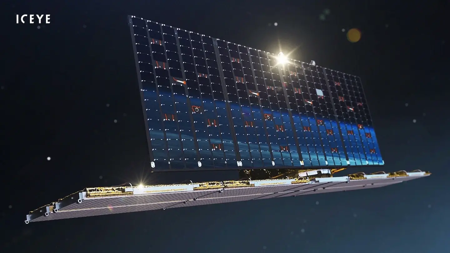
ICEYE’s satellite constellation offers reliable access to high revisit synthetic aperture radar (SAR) data for the persistent monitoring of large and small areas – every few hours and in any weather. It's uniquely positioned to support the needs of the European security sector.
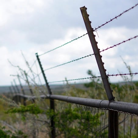
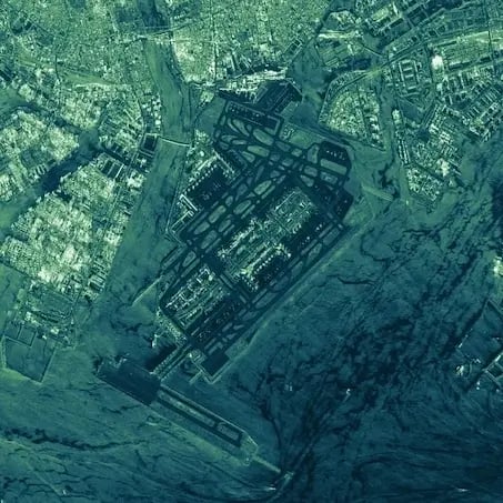
ICEYE SAR imagery is provided to all Copernicus services, mainly the emergency, security, land, and marine services, for enhancing their assessment and planning capacities. This SAR data is specifically suited for monitoring land use, and marine and international border surveillance to enhance public safety, border control, security and maritime domain awareness, and environmental monitoring.
Researchers worldwide have sponsored access to ICEYE SAR imagery through the ESA Third Party Missions (TPM) programme.
