Contact us
Get in touch with our experts to find out the possibilities daily truth data holds for your organization.
Helsinki, FINLAND – August 9, 2019 – ICEYE, the global leader in small satellite synthetic-aperture radar (SAR) technology, is the first in the world to achieve better-than 1 meter resolution imagery from under-100kg (220 pounds) SAR satellites. The new Spotlight imaging capability builds on ICEYE’s legacy of leading the way on small satellite SAR since its history-making first small SAR satellite launch in January 2018. Since then the company has continued to launch more satellites, latest in July 2019 with two new units. With new satellites being launched still during 2019, ICEYE continues to develop and optimize its imaging capabilities further for customers in both commercial and government segments.
“Offering satellite imagery day and night, regardless of cloud cover, and at these very high resolutions, makes small SAR the new standard for reliable and timely imaging,” said Rafal Modrzewski, CEO and co-founder of ICEYE. “The imagery we’ve released today shows that the previously perceived limits of small satellite SAR continue to be solved by our extremely talented teams at ICEYE.”
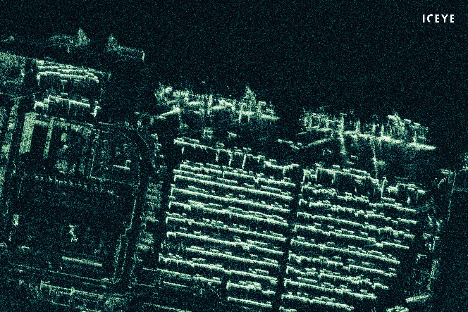
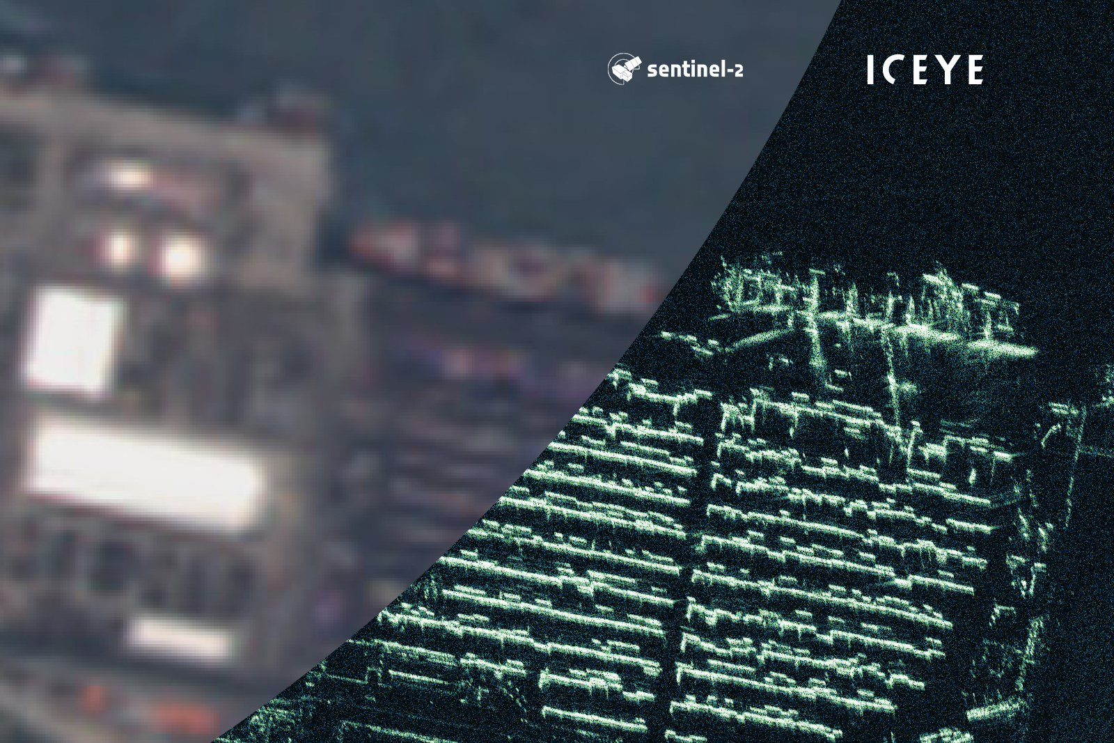
ICEYE radar satellite imagery that has been acquired and processed at 0.5-meter ground sample distance, featuring a port container terminal near Port Harcourt, Nigeria.
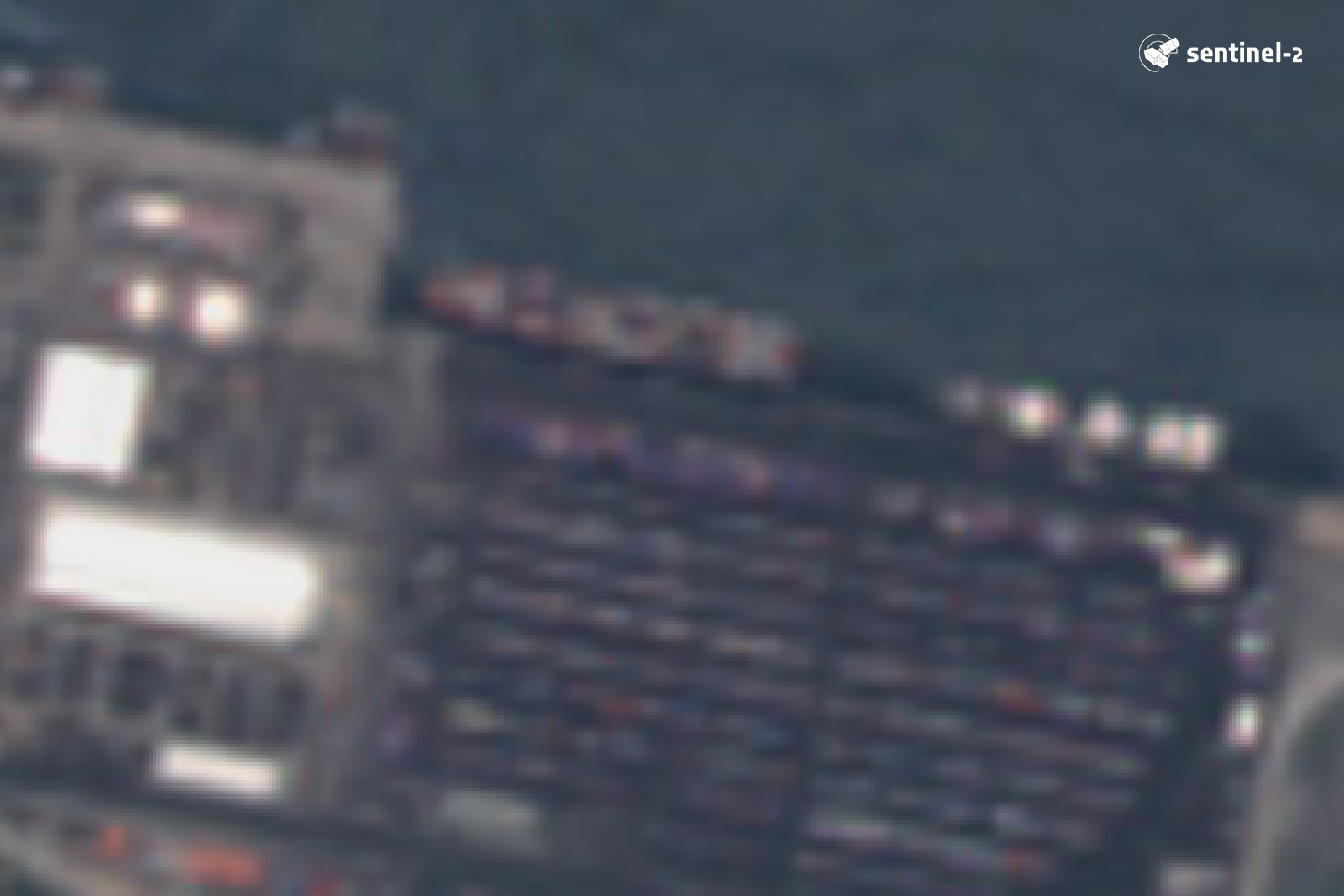
The same location in visible band optical data from EU Copernicus Sentinel-2 global dataset for reference of the target area at similar time. Sentinel-2 is a multi-spectral imaging mission intended for global mapping, not high-resolution imaging, but is used here as a visual reference.
ICEYE’s newly developed Spotlight imaging mode enables under 1-meter radar imaging from the company’s satellites. With Spotlight imaging, the satellite focuses its energy on a smaller area for a longer time, resulting in more data received from the same location. This in turn can be processed into more detailed imagery.
Very high-resolution radar satellite images are uniquely helpful for both distinguishing small objects, and for accurately classifying larger objects such as vessels. These added capabilities of ICEYE’s SAR satellites are especially valuable in resolving challenges in sectors such as emergency response, finance, civil government, and maritime security.
“ICEYE continues to provide commercial SAR data to its customers while developing new and improved capabilities,” said Pekka Laurila, CSO and co-founder of ICEYE. “We are continually working with our customers to help turn these unique capabilities into the industry-specific solutions that they need.”
EDIT: See our statement regarding Sentinel data use
"ICEYE is not intended to replace #Sentinel. We build solutions using these amazing #Copernicus missions on daily basis, and also hope to contribute to the shared mission."
— ICEYE (@iceyefi) August 12, 2019
# # # # #
About ICEYE
ICEYE is building and operating its own commercial constellation of SAR satellites, with SAR data already available to customers. ICEYE empowers others to make better decisions in governmental and commercial industries by providing access to timely and reliable radar satellite imagery. The company is tackling the current crucial lack of actionable information with world-first aerospace capabilities and a New Space approach. ICEYE’s radar satellite imaging service, designed to deliver coverage every few hours, both day and night, helps clients resolve challenges in sectors such as maritime, disaster management, insurance, and finance. For more information, please visit: www.iceye.com.
Other assets available at https://www.iceye.com/press.
Download images by right-clicking and selecting "save link as":

"ICEYE radar satellite imagery that has been acquired and processed at 0.5-meter ground sample distance. As an example, ICEYE’s very high resolution imagery shown here allows to detect and count containers in a container terminal near Port Harcourt, Nigeria. Copernicus Sentinel-2 visible band data of the same area provided for visual reference."
"ICEYE radar satellite imagery that has been acquired and processed at 0.5-meter ground sample distance, featuring a port container terminal near Port Harcourt, Nigeria."
"Visible band optical data from Copernicus Sentinel-2 global dataset for visual reference of the target area."
![]()
ICEYE logo.