Contact us
Get in touch with our experts to find out the possibilities daily truth data holds for your organization.

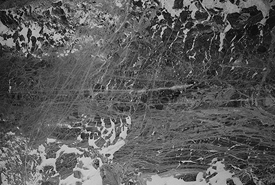
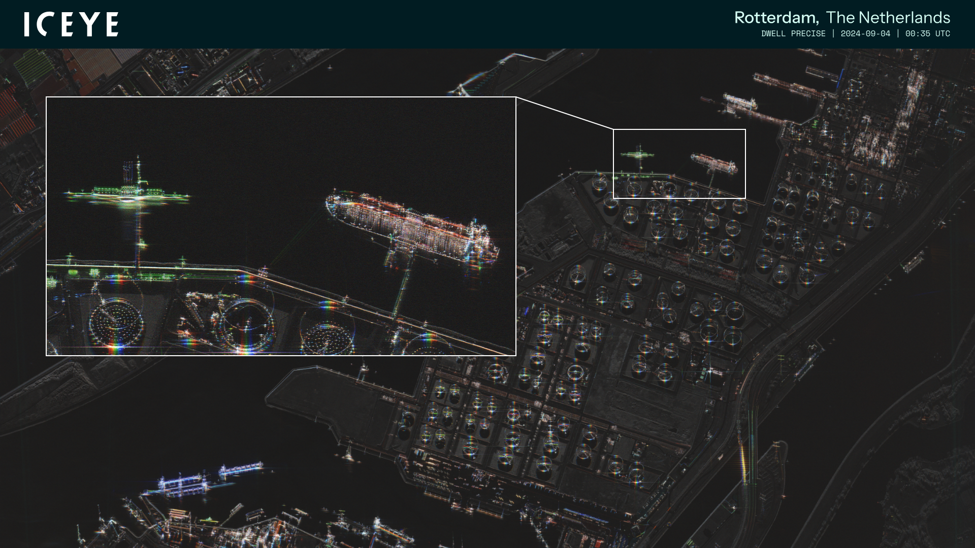
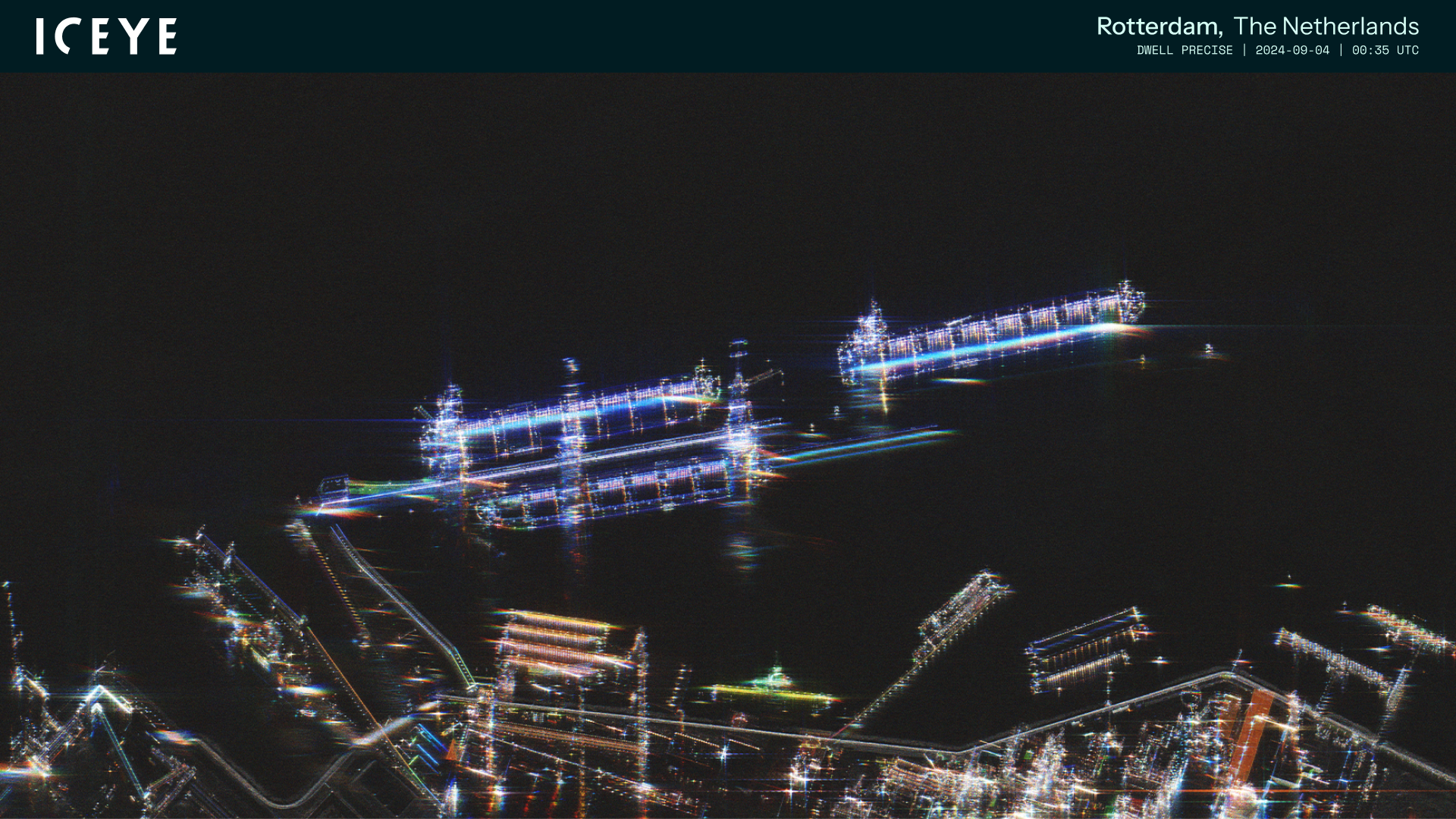
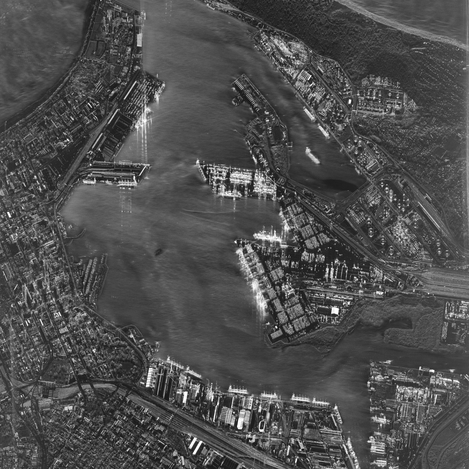
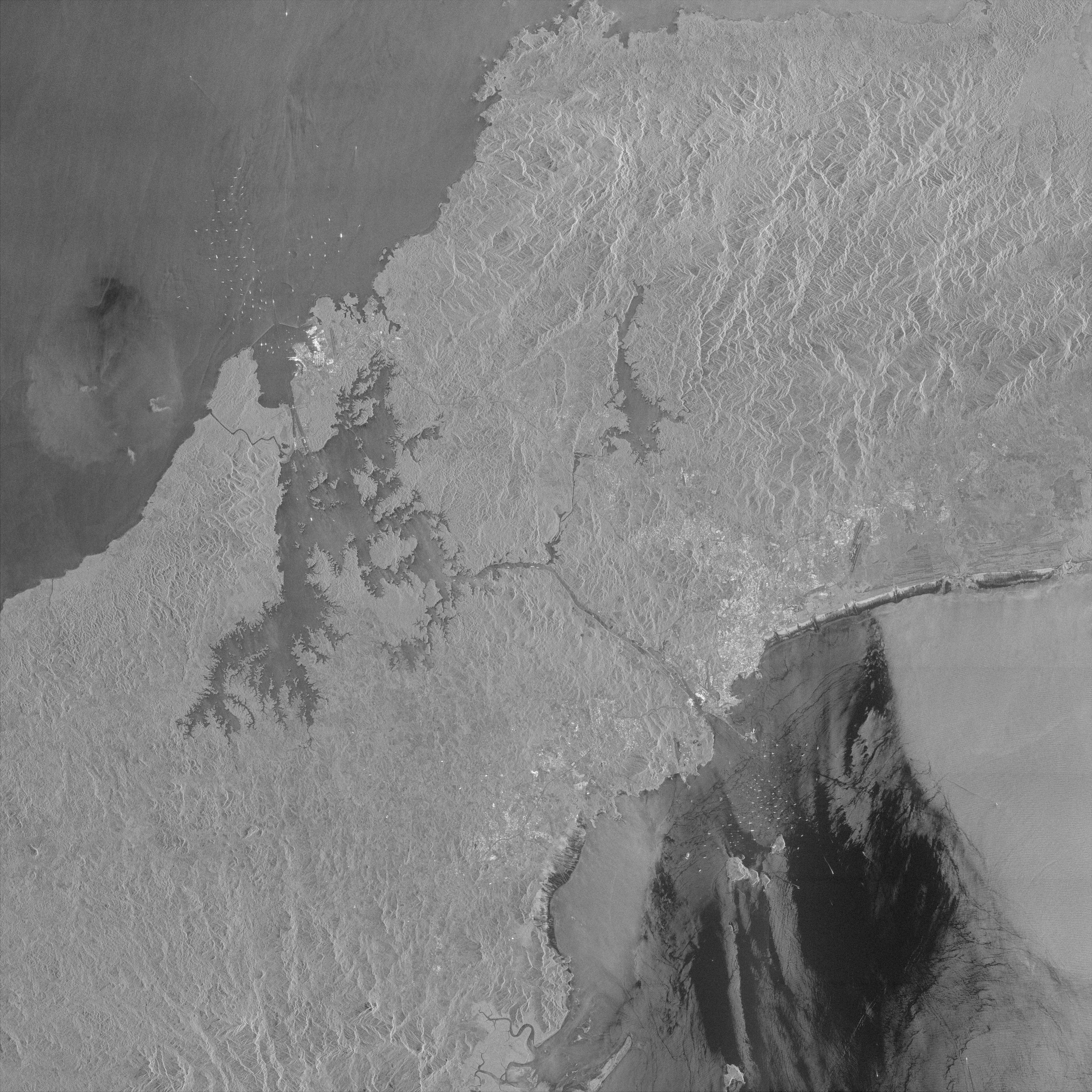
ICEYE Dwell Precise image of the Port of Rotterdam.
ICEYE Dwell Precise image of the Port of Rotterdam.

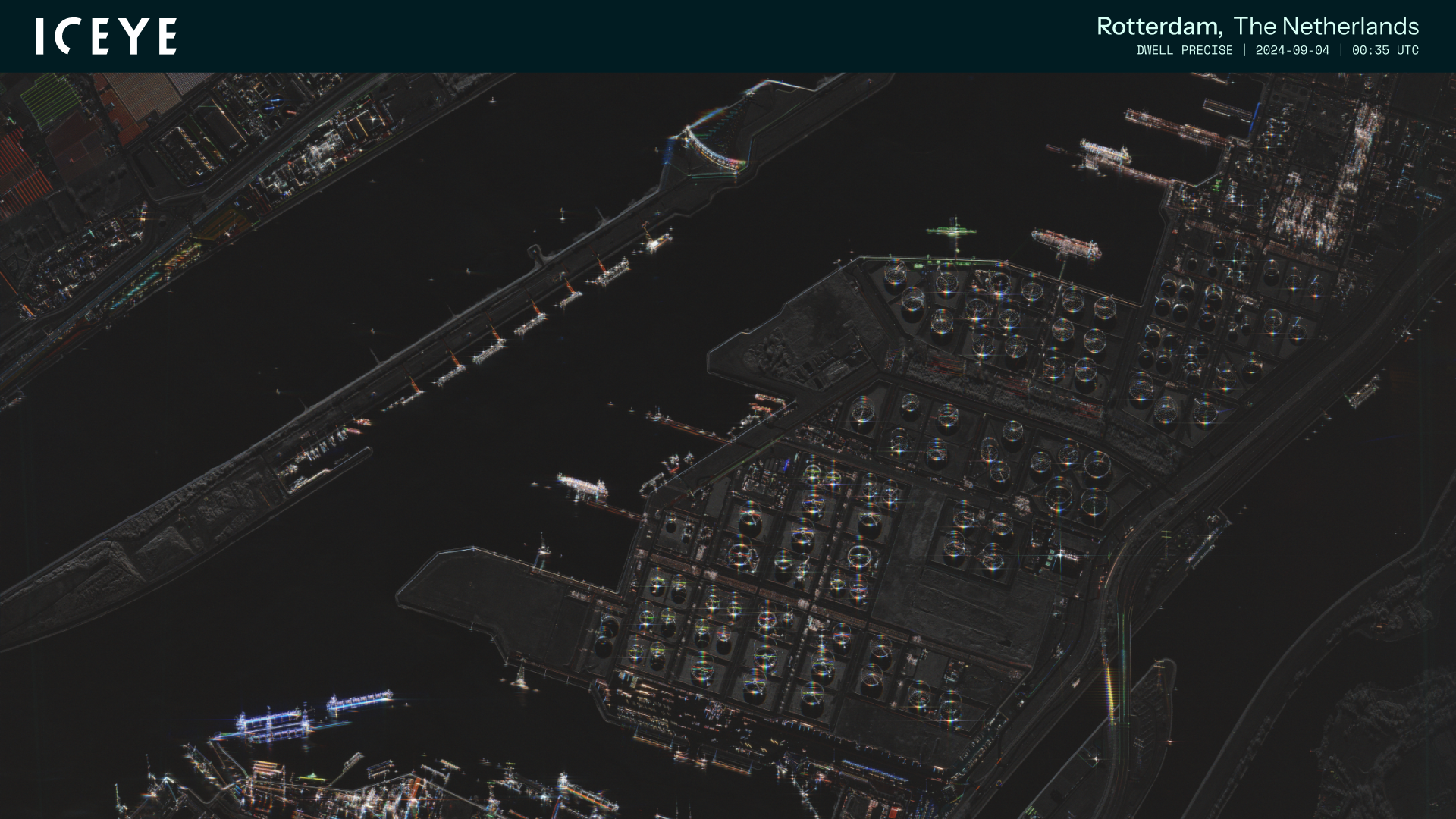
ICEYE Dwell Precise image of the Port of Rotterdam (clean).
ICEYE Dwell Precise image of the Port of Rotterdam (clean).

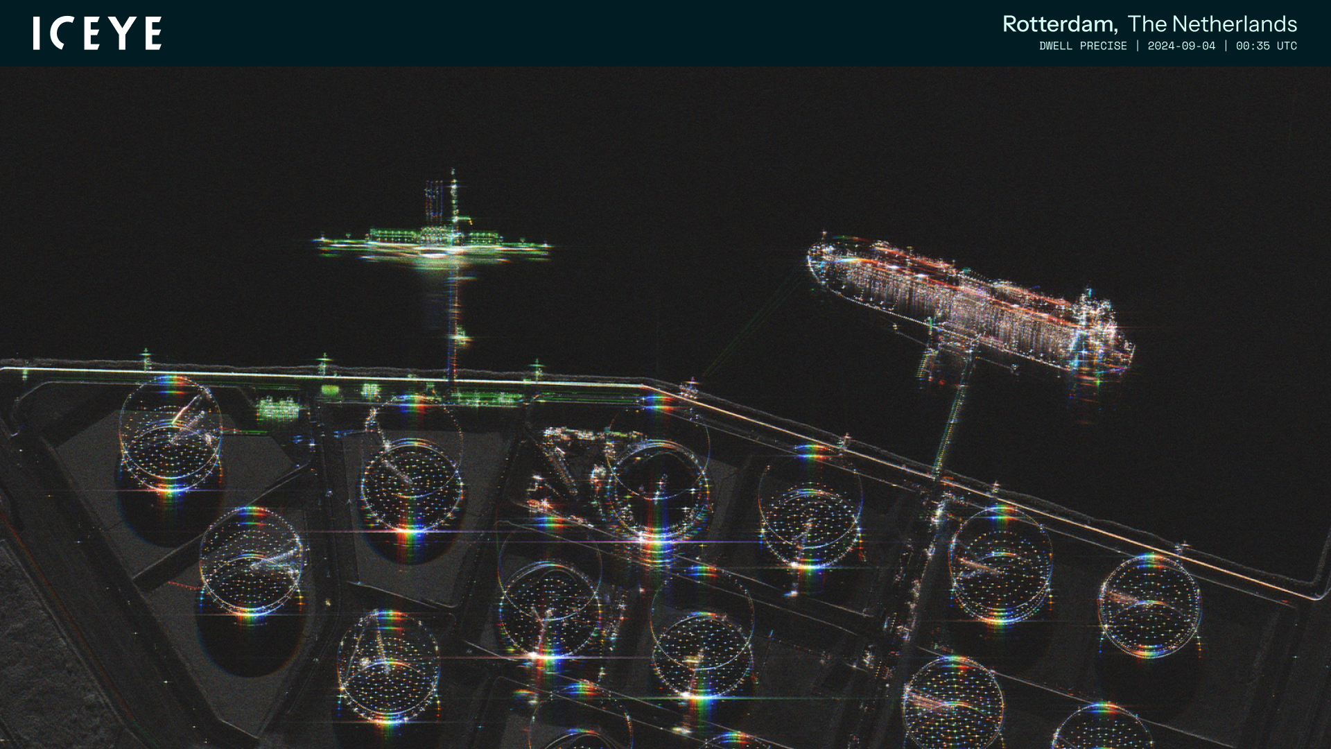
ICEYE Dwell Precise image of the Port of Rotterdam (zoom-in).
ICEYE Dwell Precise image of the Port of Rotterdam (zoom-in).

ICEYE Dwell Precise image of the Port of Rotterdam (zoom-in).
ICEYE Dwell Precise image of the Port of Rotterdam (zoom-in).

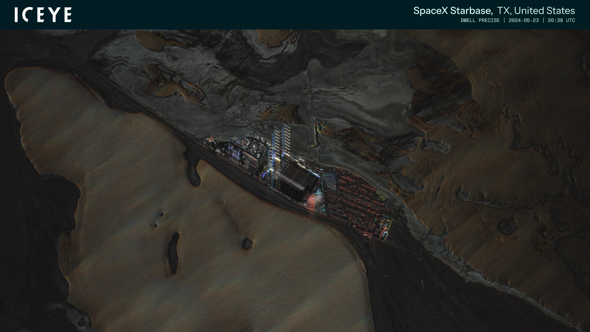
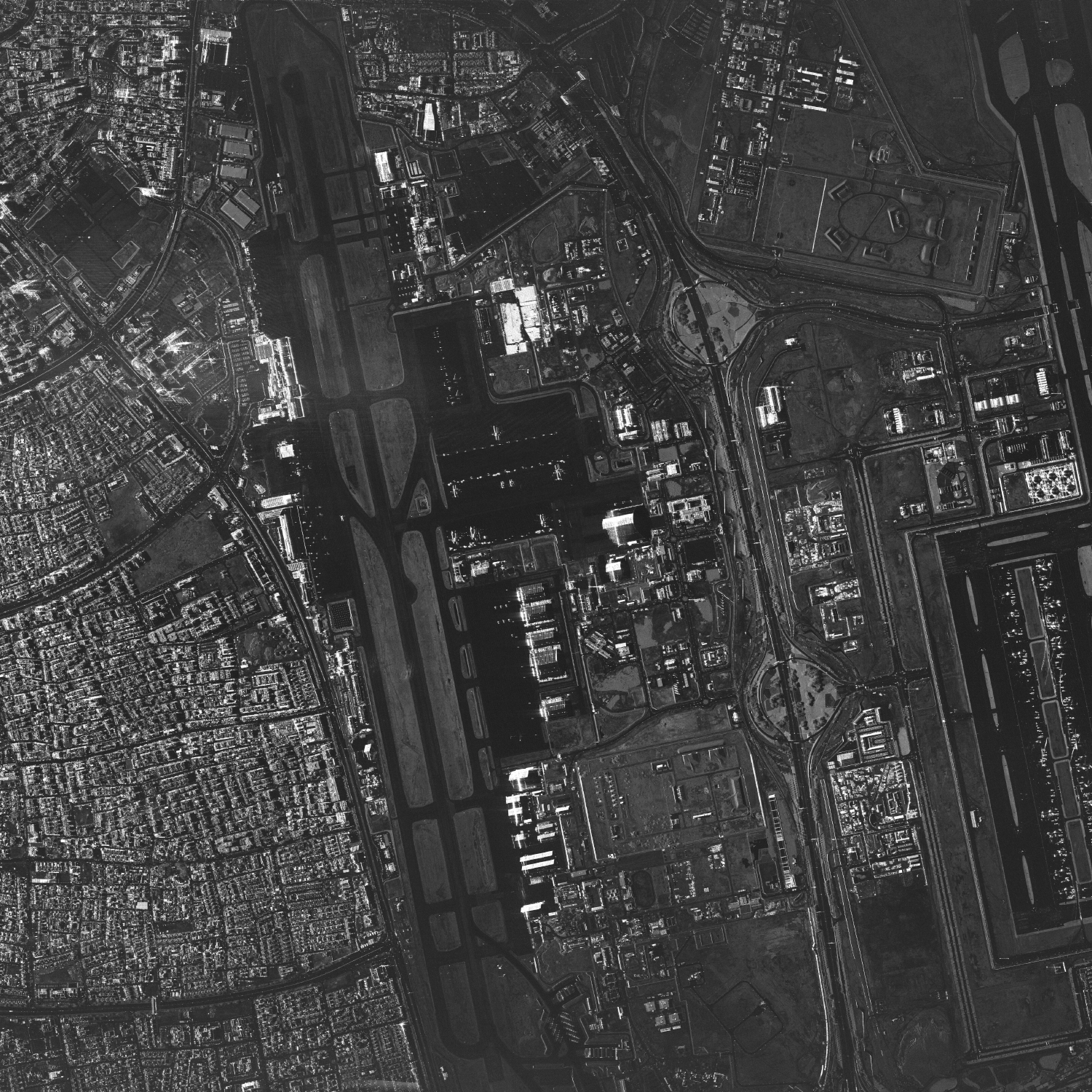
ICEYE Dwell Precise image of the SpaceX Starbase in Texas, US.
ICEYE Dwell Precise image of the SpaceX Starbase in Texas, US.

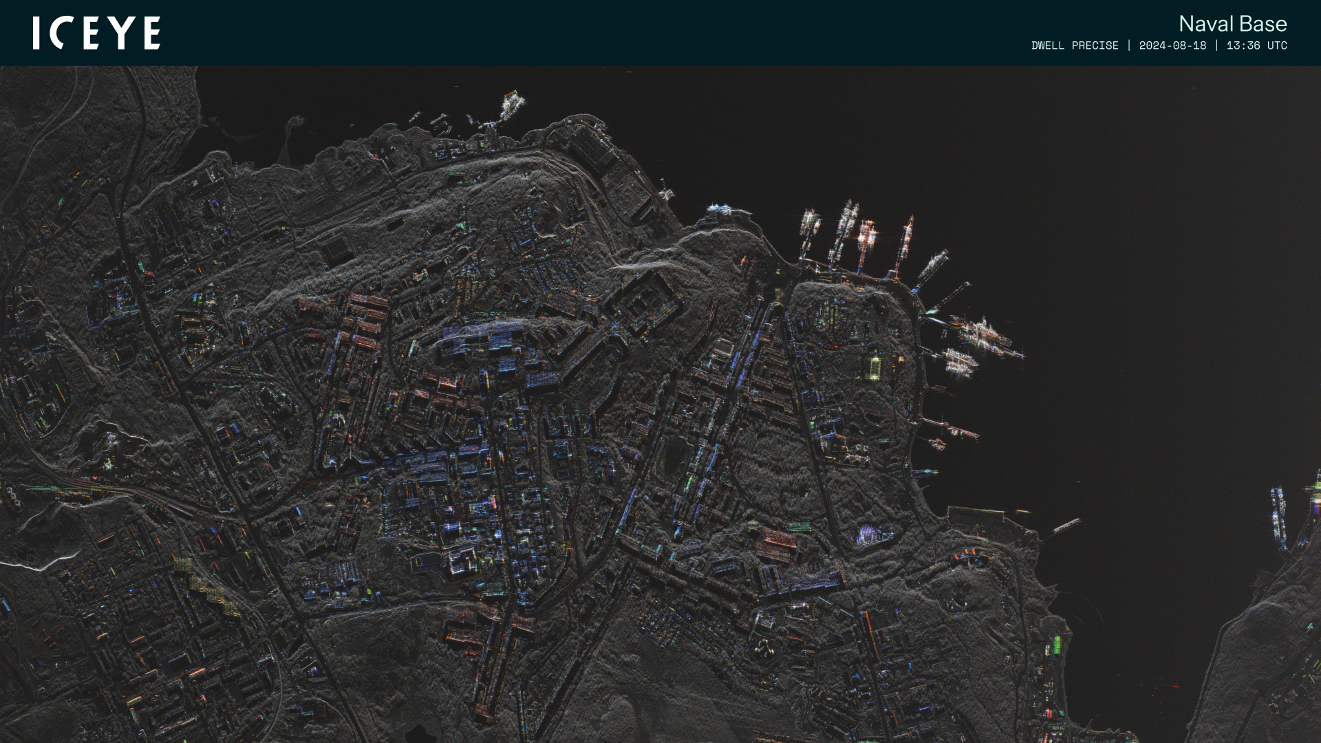
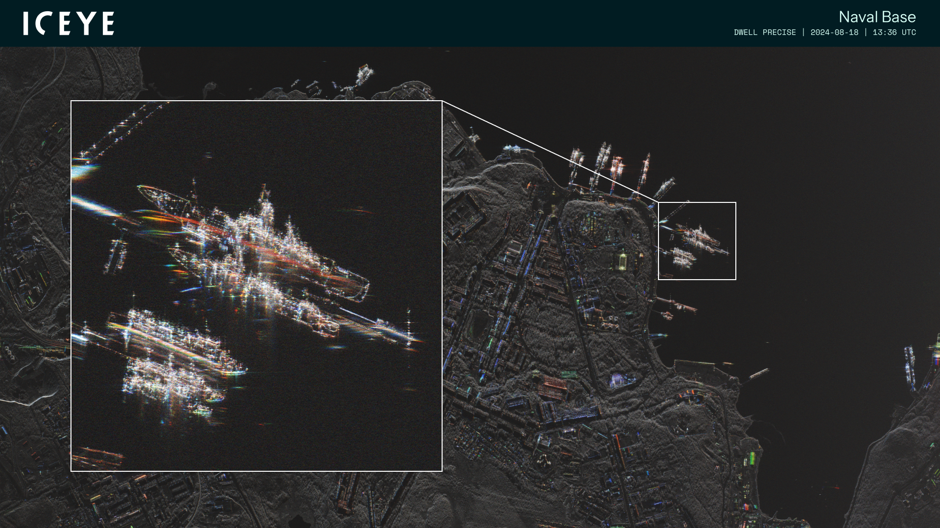
ICEYE Dwell Precise image of a naval base (clean).
ICEYE Dwell Precise image of a naval base (clean).
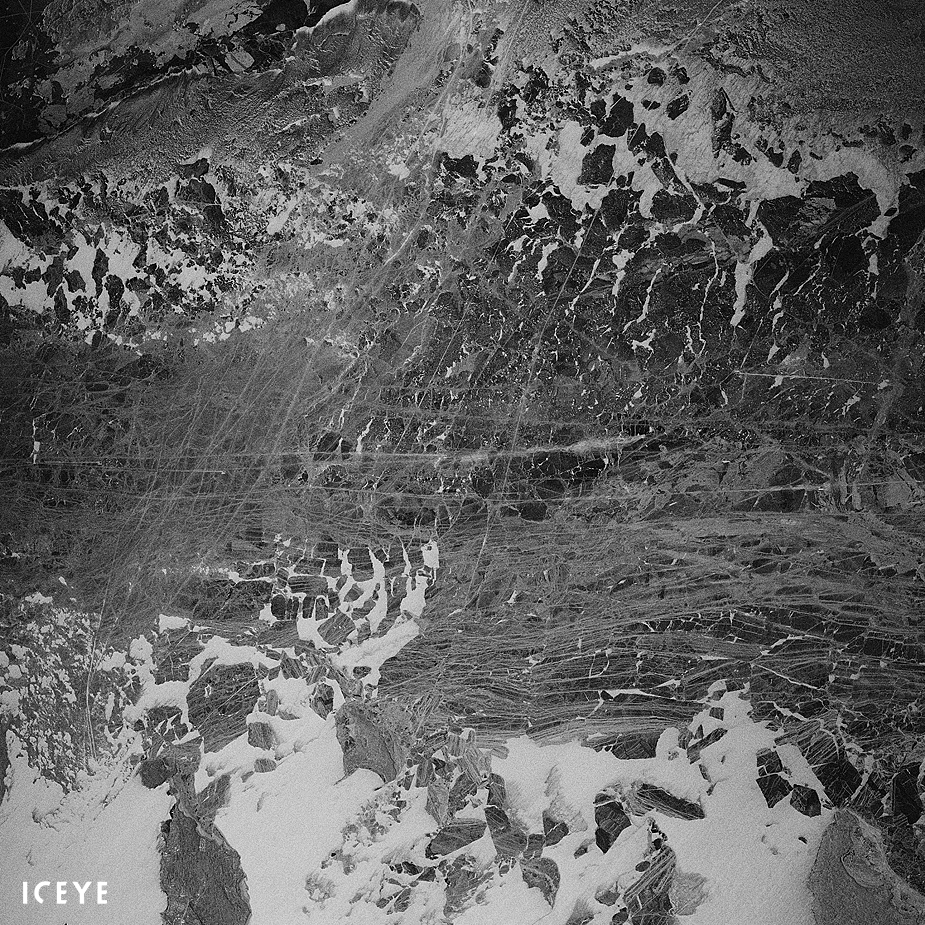
Gulf of Finland sea ice between Helsinki and Tallinn on 25 February 2018,...
Gulf of Finland sea ice between Helsinki and Tallinn on 25 February 2018, imaged with ICEYE-X1.
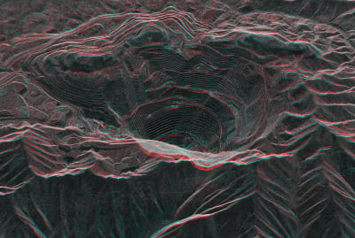
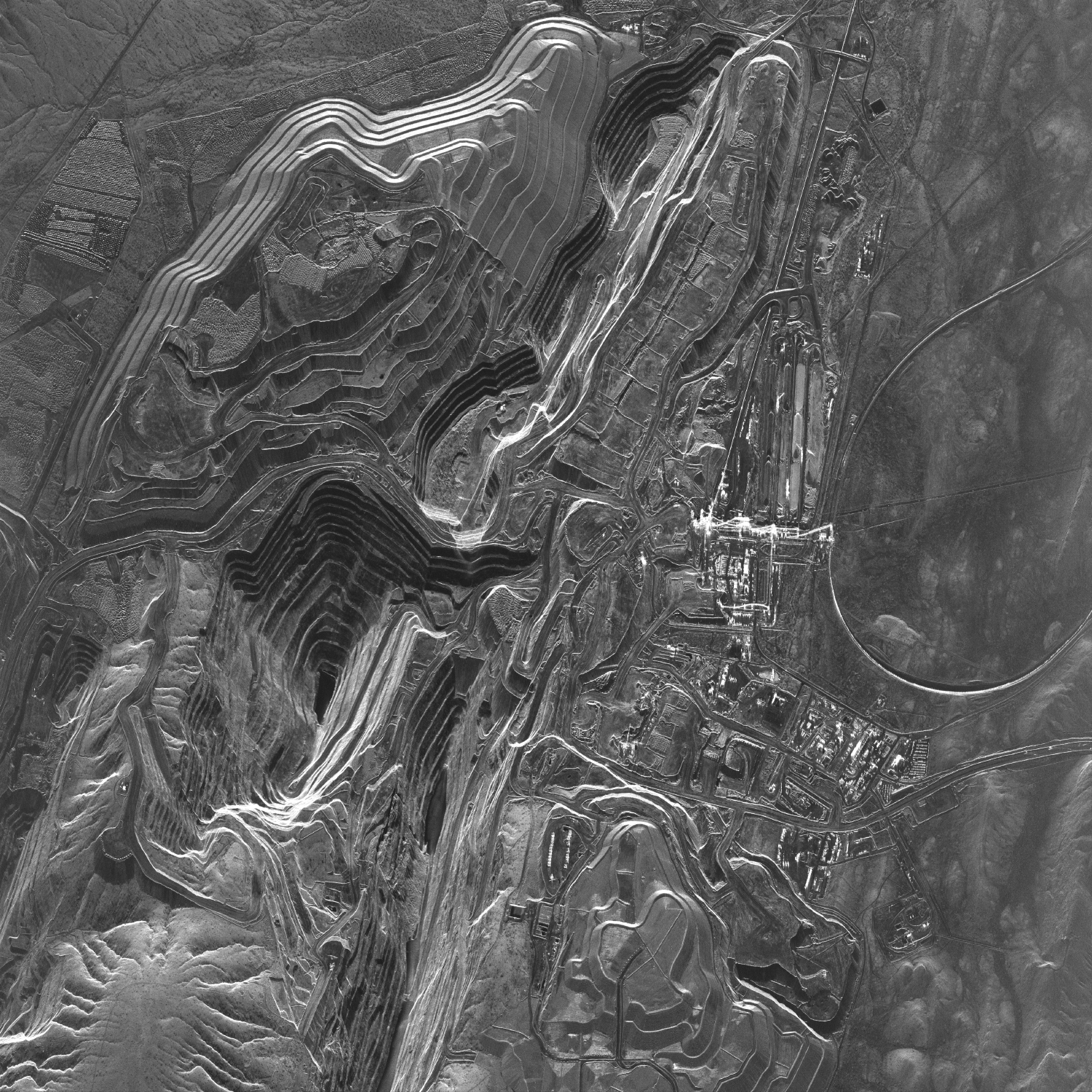
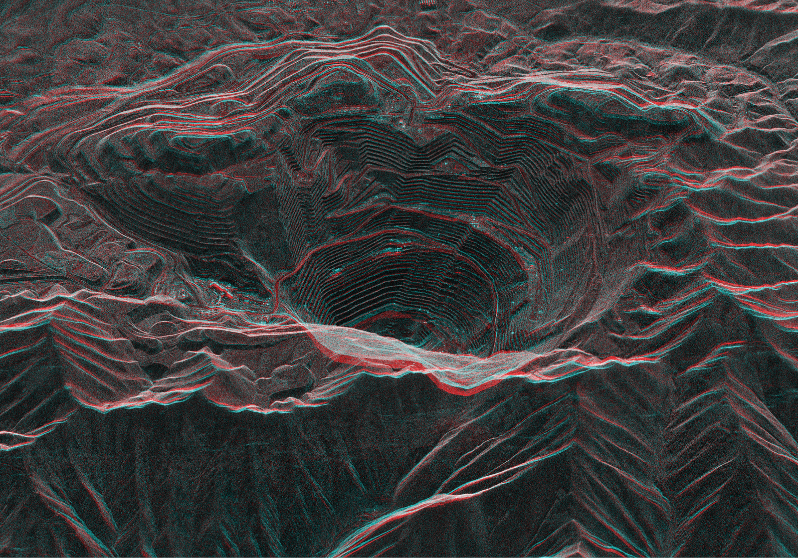
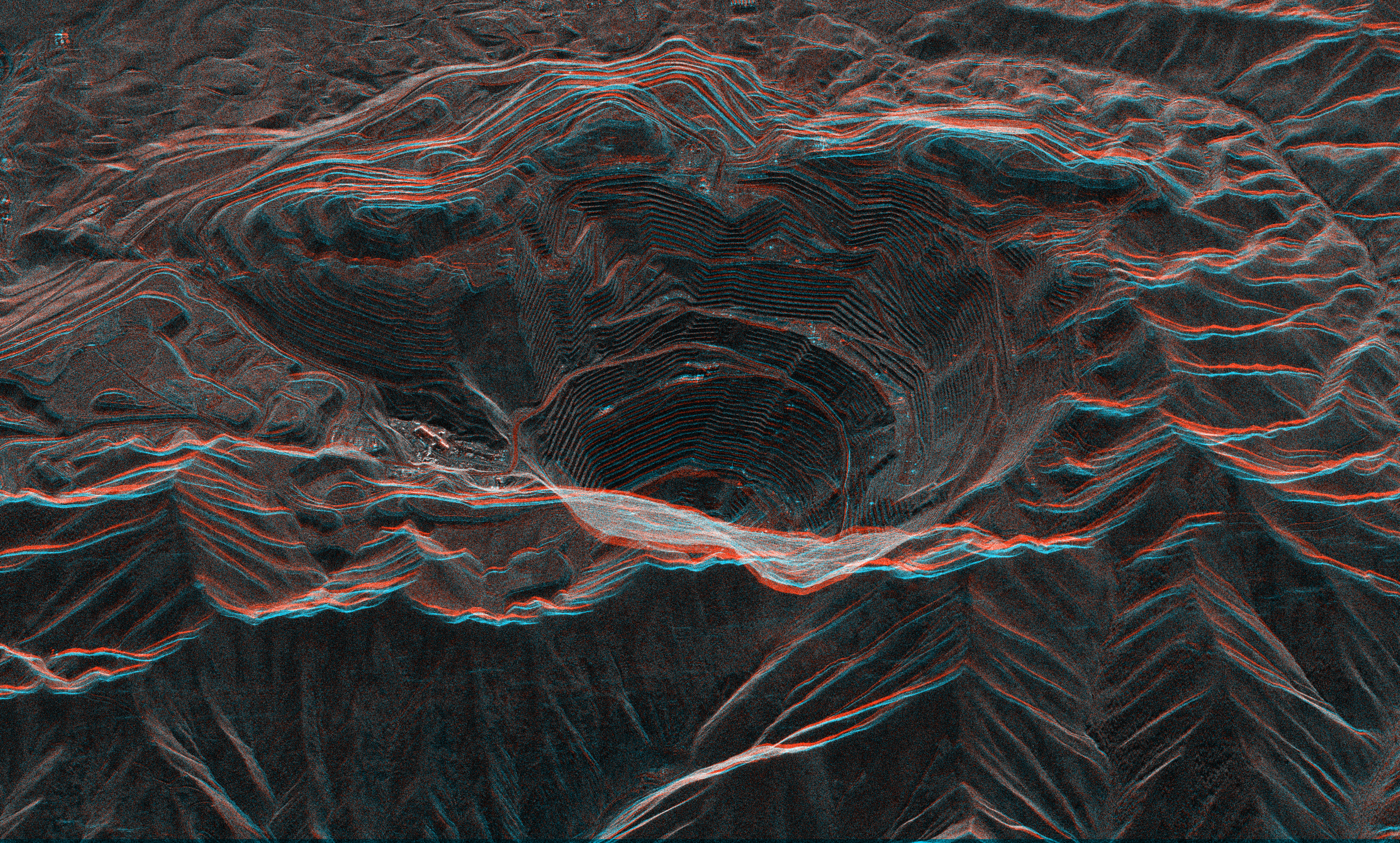
A stereo view of the Bingham Canyon Open Pit Copper Mine in Utah, combined from...
A stereo view of the Bingham Canyon Open Pit Copper Mine in Utah, combined from two ICEYE SAR satellite images.
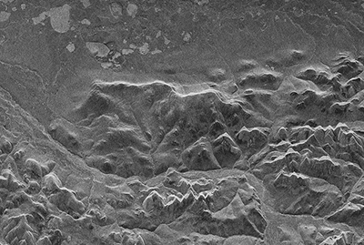
The first radar image obtained with the ICEYE-X1 SAR satellite on 15 January...
The first radar image obtained with the ICEYE-X1 SAR satellite on 15 January 2018, at 21:47 UTC. The image depicts Noatak National Preserve, Alaska.

Before & after animation, of storm Boris in Nysa, Poland
Before & after animation, of storm Boris in Nysa, Poland

Before & after animation, of storm Boris in Lewin Brzeski, Poland
Before & after animation, of storm Boris in Lewin Brzeski, Poland

Before & after animation of Hurricane Milton in Florida, US.
Before & after animation of Hurricane Milton in Florida, US.

Before & after animation of Hurricane Milton in Hillsborough Country, Florida,...
Before & after animation of Hurricane Milton in Hillsborough Country, Florida, US.

Before & after animation of flooding after storm DANA in Valencia, Spain.
Before & after animation of flooding after storm DANA in Valencia, Spain.

Visual of storm Boris in Lewin Brzeski, Poland.
Visual of storm Boris in Lewin Brzeski, Poland.

Visual of flooding after storm DANA in Valencia, Spain.
Visual of flooding after storm DANA in Valencia, Spain.
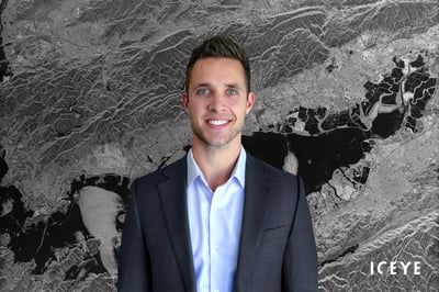
Rafal Modrzewski, Chief Executive Officer (CEO) & Co-founder of ICEYE.
Rafal Modrzewski, Chief Executive Officer (CEO) & Co-founder of ICEYE.
Pekka Laurila, Chief Strategy Officer (CSO) & Co-founder of ICEYE.
Pekka Laurila, Chief Strategy Officer (CSO) & Co-founder of ICEYE.
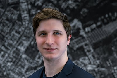
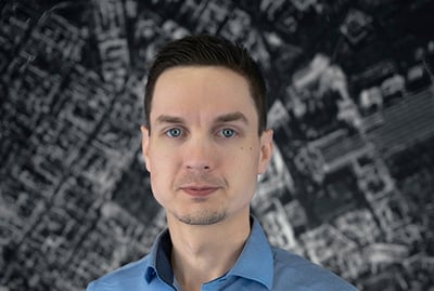
Eric Jensen, Chief Executive Officer (CEO) of ICEYE, Inc, the US subsidiary of...
Eric Jensen, Chief Executive Officer (CEO) of ICEYE, Inc, the US subsidiary of ICEYE.
The ICEYE synthetic-aperture radar (SAR) satellite constellation is already...
The ICEYE synthetic-aperture radar (SAR) satellite constellation is already today providing data to organizations around the world. The imaging and vessel detection data that is provided by this technology is a vital next leap in how nations can secure their maritime areas.

On March 9th, 2020, ICEYE is publishing the first in-orbit demonstration of...
On March 9th, 2020, ICEYE is publishing the first in-orbit demonstration of synthetic-aperture radar (SAR) videos, acquired with ICEYE SAR satellites. In these scenes, you can detect and analyse movement in a new way, giving insights into what is happening on the ground during a single SAR satellite pass over the location.
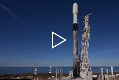
Video of the ICEYE-X2 launch aboard a SpaceX Falcon 9 rocket on 3 December...
Video of the ICEYE-X2 launch aboard a SpaceX Falcon 9 rocket on 3 December 2018, from Vandenberg Air Force Base, California. (Spaceflight’s SSO-A: SmallSat Express mission) Credit: SpaceX

ICEYE Press releases • July 1, 2026 • 2 min read

ICEYE Press releases • June 29, 2026 • 3 min read

ICEYE Press releases • June 22, 2026 • 3 min read

ICEYE Press releases • June 18, 2026 • 4 min read

ICEYE Press releases • June 17, 2026 • 2 min read


