Contact us
Get in touch with our experts to find out the possibilities daily truth data holds for your organization.
Press release
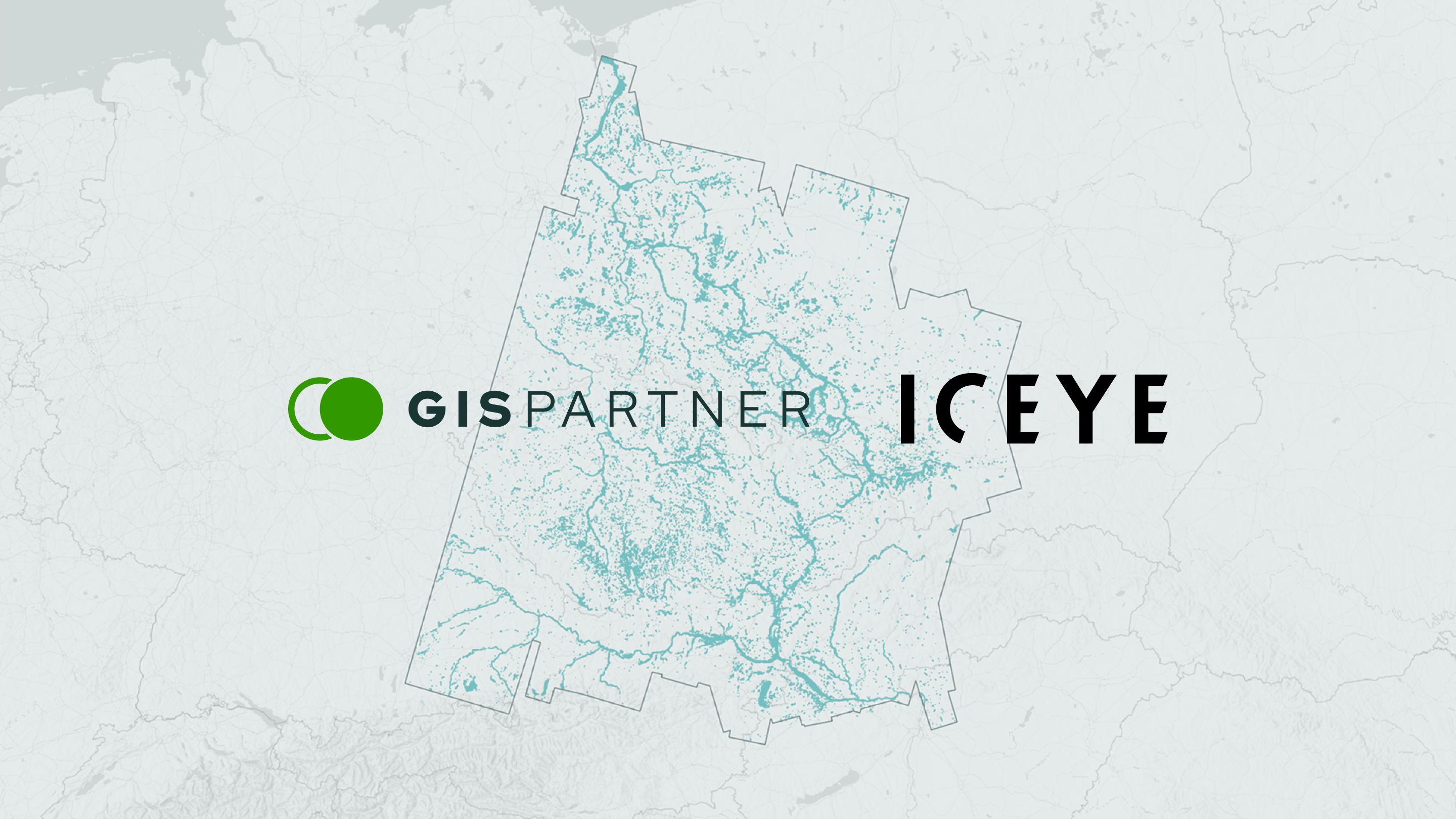
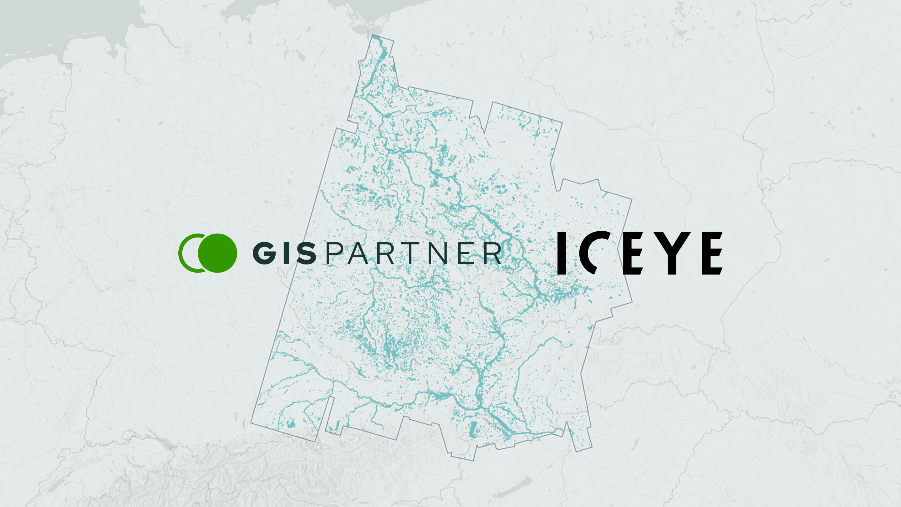
Wrocław, Poland – May 28, 2026 – GISPartner, a leading Polish provider of Geographic Information Systems (GIS), has signed a cooperation agreement with ICEYE, the world leader in sovereign intelligence from space, to deliver near-real-time infrastructure intelligence and operational monitoring capabilities for infrastructure operators and commercial organizations. Through the partnership, ICEYE’s solutions will be integrated into GISPartner’s solutions, including the iMapCLOUD platform, enabling customers to monitor infrastructure, assess risk, and support operational decision-making regardless of weather or time of day.
As infrastructure operators, utilities, and risk management organizations face growing pressure from climate-related disruptions and aging infrastructure, demand for persistent, near-real-time situational awareness is increasing. The collaboration between GISPartner and ICEYE will help organizations across energy, water, transportation, telecommunications, and insurance operations make faster, more informed decisions using satellite-derived intelligence. A key focus of the partnership will be digital water management and flood-related monitoring capabilities.
“Our partnership with ICEYE is not only an expansion of our technological offering, but also a strong example of how Polish companies can jointly build solutions of global relevance,” said Andrzej Szostek, President of the Management Board of GISPartner Sp. z o.o. “By combining access to the most advanced satellite data with our implementation and integration capabilities, we deliver tools that directly support decision-making in infrastructure-driven organizations.”
ICEYE operates the world's largest SAR satellite constellation, with more than 70 satellites launched as of May 2026, both for its own fleet and customer systems. The ICEYE constellation enables persistent Earth observation in any weather, day or night. The technology supports disaster response, infrastructure resilience, and risk monitoring for governments and commercial organizations worldwide. GISPartner specializes in transforming large-scale geospatial and satellite datasets into operational tools, including through its work supporting the National Satellite Information System for the Polish Space Agency (POLSA).
“Operators responsible for critical infrastructure increasingly need timely, reliable intelligence to support operational decision-making,” said Andy Read, Vice President of Government Solutions at ICEYE. “By integrating ICEYE’s capabilities into GISPartner’s platform, this partnership helps transform satellite data into operational tools that support infrastructure resilience, water management, and risk monitoring.”
“ICEYE solutions data offers significant value in operational use cases, from infrastructure monitoring and risk management, to supporting near real-time decision-making,” emphasized Jan Żołnierz, Key Account Manager, Earth Observation at GISPartner. “Our role is to integrate this data and deliver it as practical tools tailored to specific customer needs. This ‘last mile’ ultimately determines the real value of data.”
The partnership reflects growing demand across Europe for operational Earth observation technologies that support infrastructure resilience, risk management and disaster response decision-making.
ICEYE is the world leader in sovereign intelligence from space. We deliver persistent monitoring capabilities to detect and respond to changes in any location on Earth.
ICEYE owns the world's largest and most advanced SAR (synthetic aperture radar) satellite constellation. To our customers we provide intelligence with unmatched quality, latency and revisit times, in any weather, day or night. To governments who choose to operate their own constellation we provide this proven capability as a sovereign system.
ICEYE-built constellations serve customers in defence and intelligence, environmental monitoring, insurance and emergency management. We enable fast decisions that contribute to a safer future.
Founded and headquartered in Finland, ICEYE operates globally with over 1,000 employees across Poland, Spain, the UK, Australia, Japan, the UAE, Greece, and the US.
Media contact
press@iceye.comWe’re a growing international team of builders. Join us.
http://iceye.com/joinus
For over 20 years, GISPartner has been a strategic partner for public administration and business in digital transformation. Our technology powers some of the largest IT systems in Poland.
We help companies effectively manage spatial information and large datasets, maximizing their business potential. We support public institutions in processes of critical importance to national security - including crisis management, defense, strategic geoanalytics, and tax enforcement.
Through the dedication and expertise of our team, we transform multi-source data streams into solutions that enable accurate decision-making in complex and dynamic conditions — across virtually every industry.
We deliver advanced location intelligence systems, digital twin solutions, and analytical tools for big data and satellite imagery. Within the iMap Data Platform ecosystem, we successfully integrate the latest technologies - AI, machine learning, EO/IoT/SCADA, BIM, operational modeling, simulation, and graph analytics - defining the standards for interoperable next-generation systems.
Media contact
bgrabowski@gispartner.plWebsite
https://www.gispartner.pl/en/
Other assets available at https://www.iceye.com/media-assets
Get the latest news and updates from ICEYE directly to your email. Don't forget to follow us on @iceye_global & on LinkedIn. For press inquiries and further materials please refer to our Press section.