Wildfire_suburban-house_hero_medium

What if you could understand wildfire damage within hours, not days?

As the weather becomes more extreme due to climate change, communities around the world are being affected by larger, more severe, and more frequent wildfires.

ICEYE's Wildfire Insights helps by providing a near real-time assessment of building damage within the fire perimeter.

Stephen-vid-thumbnail-2 Large

Near Real-Time Situational Awareness for Wildfires

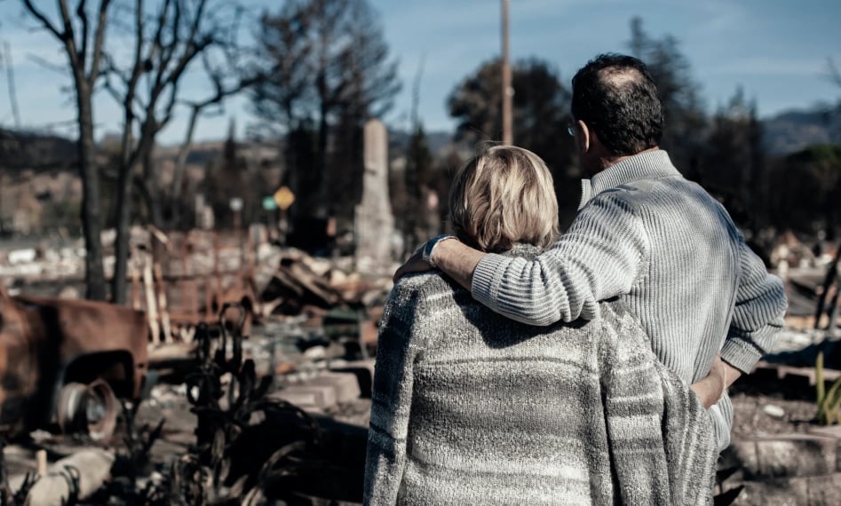
with building-level damage assessment data

Persistent Natural Catastrophe Monitoring

See through the smoke with revolutionary satellite technology

ICEYE’s large constellation of Synthetic Aperture Radar (SAR) satellites provides access to an entirely new level of persistent monitoring for any location on Earth - uninterrupted visibility, day and night, in any weather conditions. This globally available, actionable intelligence is taking the P&C insurance industry through a step-change transformation.

Wildfire-render-satellite_hero_small

Rapid building-level damage detection with smoke-penetrating satellites

Stay ahead of wildfire risk with building-level damage data

Until now, when aerial optical imagery was available for a wildfire event, insurers often had to scan through images and annotate them by themselves to determine if their individual properties were impacted.

ICEYE Wildfire Insights provides near real-time situational awareness to insurers before optical imagery can be captured, so you can base your decisions on rapid and verifiable observation data.
Fire_data_Oregon_onethird

Building-level damage detection

ICEYE's building damage assessment delivers detailed damage assessments for residential and commercial structures within the wildfire's perimeter – all within hours of impact. The output is in a vector format (either latitude, longitude points or building footprints) with a binary classification of structural damage (‘destroyed’/’undamaged’) per location.

ESRI_wildfire_onethird@1x

Wildfire monitoring application via ESRI

We also offer an Esri-based wildfire monitoring application to display all active wildfires in the US and Australia, utilizing a set of data sources, including fire perimeters/fire locations, hotspots, building footprints and populated urban centers.

Wildfire_smoke-cloud_hero_small

See why top-tier insurers trust ICEYE for immediate event response, loss sizing and loss adjustments.

Insight-led decisions for P&C insurers

ICEYE enhances your ability to swiftly and effectively respond to fire events, improving the quality of service offered to affected communities. We provide near real-time building damage assessment for wildfire and bushfire events, empowering you to calculate losses, manage risks, and carry out disaster response efforts more effectively. Our technology helps make informed decisions, such as how many people to dedicate to respond to incoming claims/client outreach, or how much capital you need to reserve to take out to pay out incurred but not reported future claims.

Wildfire-damage_people_twothirds

Contact the ICEYE Insurance Solutions team

Learn more about how we can support your organization