Contact us
Get in touch with our experts to find out the possibilities daily truth data holds for your organization.
Persistent Monitoring
Natural catastrophe solutions

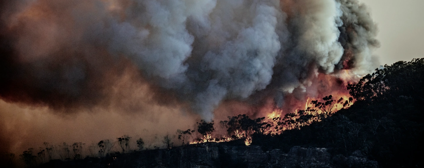
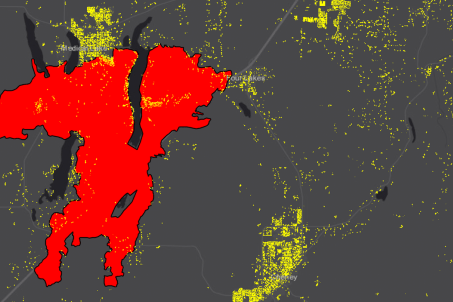
ICEYE's Wildfire Insights helps by providing a near real-time assessment of building damage within the fire perimeter.

with building-level damage assessment data
Persistent Natural Catastrophe Monitoring
ICEYE’s large constellation of Synthetic Aperture Radar (SAR) satellites provides access to an entirely new level of persistent monitoring for any location on Earth - uninterrupted visibility, day and night, in any weather conditions. This globally available, actionable intelligence is taking government agencies and emergency management organizations through a step-change transformation.
With ICEYE’s radar technology, you can take out the guesswork of looking at news reports and aerial imagery for impact assessments, and reduce the stress on your team who is working under extreme time pressure. The result? More effective resource allocation, enhanced safety for affected communities and first responders, rapid post-event damage assessments, and faster assistance and relief.

ICEYE's building damage assessment delivers detailed damage assessments for residential and commercial structures within the wildfire's perimeter – all within hours of impact. The output is in a vector format (either latitude, longitude points or building footprints) with a binary classification of structural damage (‘destroyed’/’undamaged’) per location.

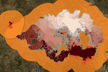
We also offer an Esri-based wildfire monitoring application to display all active wildfires in the US and Australia, utilizing a set of data sources, including fire perimeters/fire locations, hotspots, building footprints and populated urban centers.

ICEYE enhances your ability to swiftly and effectively respond to fire events, improving the quality of service offered to affected communities.We provide near real-time building damage assessment for wildfire events, empowering you to enhance your disaster response and accelerate your recovery efforts. Our technology enables more accurate and expedient decision-making during wildfire emergencies without risking the safety of responders.

Contact the ICEYE Government Solutions team
Respond decisively to flood events with ICEYE Flood Insights. Owning the largest constellation of cloud-penetrating radar satellites, ICEYE enables government agencies with observation-based, rapid flood hazard data that brings confidence to responsible decision-making. Let's get in touch today!