Contact us
Get in touch with our experts to find out the possibilities daily truth data holds for your organization.

Press release
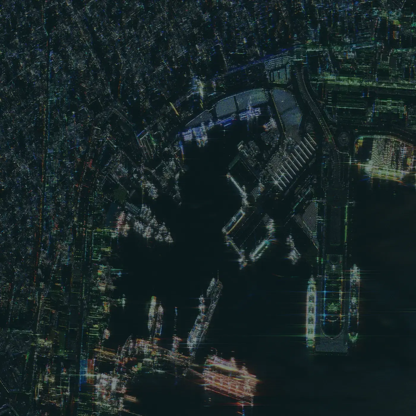
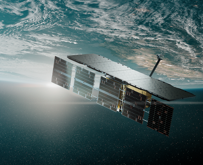
ICEYE launched its new Generation 4 satellite into orbit on March 15, 2025. The Gen 4 satellite brings unique imaging capabilities for enhanced target detection and classification, serving the needs of defense and ISR markets.

July 14, 2025
3 min read
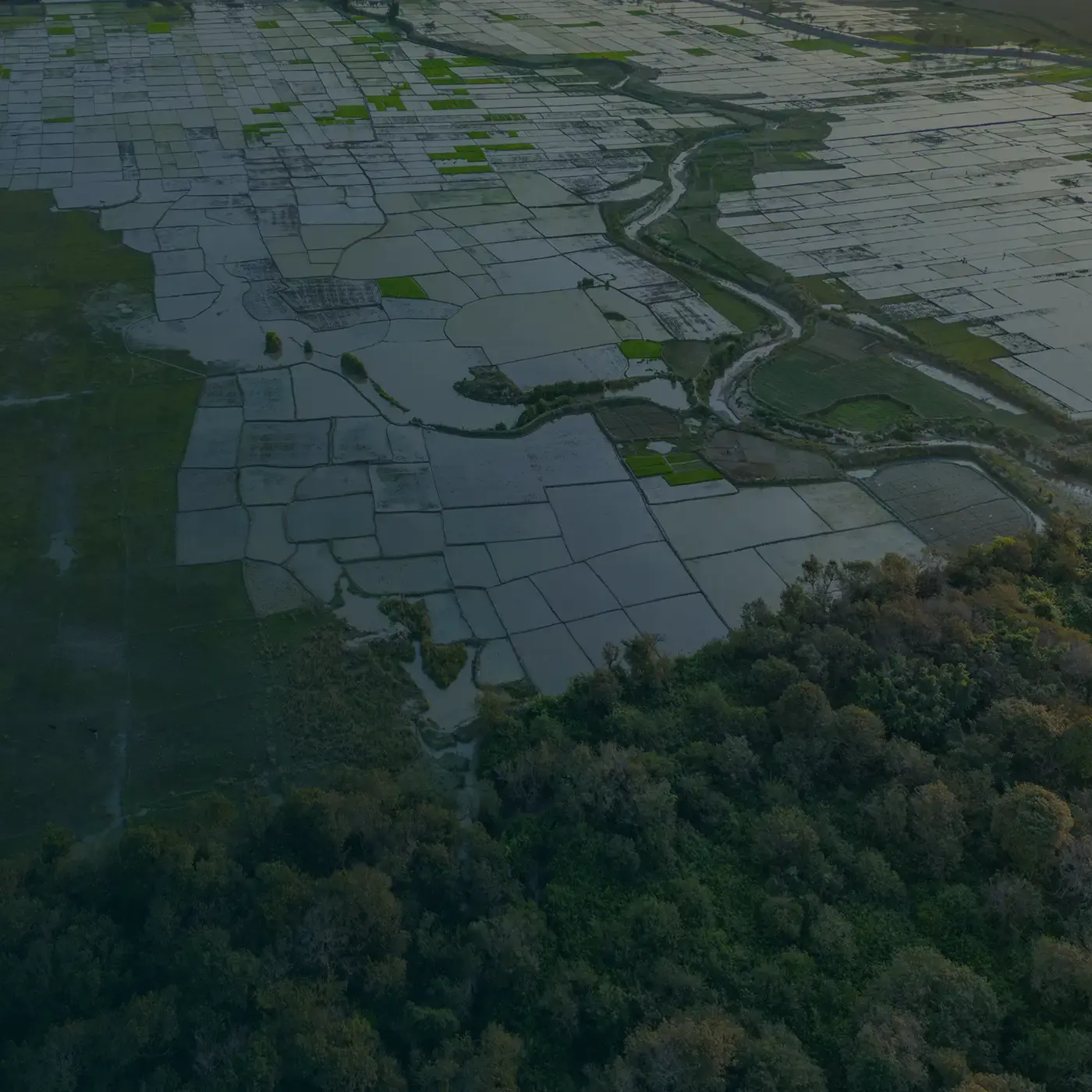
ICEYE unveils machine learning-powered Flood Rapid Impact Product to revolutionize response
Helsinki - July 14, 2025 - ICEYE, a global leader in satellite-powered disaster management solutions, has announced the launch of Flood ...
Read the press release ICEYE unveils machine learning-powered Flood Rapid Impact Product to revolutionize response →
July 10, 2025
3 min read
ICEYE supports Rio Grande do Sul government in mapping flooded areas and mobilizing humanitarian aid
Porto Alegre - July 10, 2025 - ICEYE, the global leader in Synthetic Aperture Radar (SAR) satellite monitoring technology, has played a ...
Read the press release ICEYE supports Rio Grande do Sul government in mapping flooded areas and mobilizing humanitarian aid →
July 2, 2025
2 min read
MAPFRE RE signs agreement to license ICEYE’s global flood data
Helsinki - July 2, 2025 - MAPFRE RE, a leading global reinsurer, has entered into an agreement with ICEYE, an expert in satellite-based ...
Read the press release MAPFRE RE signs agreement to license ICEYE’s global flood data →
June 27, 2025
2 min read
Finland Ministry of Defense selects ICEYE for space-based intelligence and surveillance capabilities
Helsinki - June 27, 2025 - ICEYE, the European leader in new defense technology and the global leader in Synthetic Aperture Radar (SAR) ...
Read the press release Finland Ministry of Defense selects ICEYE for space-based intelligence and surveillance capabilities →
June 24, 2025
2 min read
ICEYE to provide SAR Satellite Data to NATO Allied Command Operations within Alliance Persistent Surveillance from Space Initiative
Helsinki and Brussels - June 24, 2025 - ICEYE, the global leader in Synthetic Aperture Radar (SAR) satellite operations for Earth ...
Read the press release ICEYE to provide SAR Satellite Data to NATO Allied Command Operations within Alliance Persistent Surveillance from Space Initiative →
June 24, 2025
2 min read
Six new satellites for ICEYE and its customers launched aboard the Transporter-14 rideshare mission
Helsinki - June 24, 2025 - ICEYE, the global leader in Synthetic Aperture Radar (SAR) satellite operations and primary provider of critical ...
Read the press release Six new satellites for ICEYE and its customers launched aboard the Transporter-14 rideshare mission →
June 23, 2025
3 min read
ICEYE to deliver space-based ISR capability to the Royal Netherlands Air Force
Helsinki - June 23, 2025 - ICEYE, the European space and defense technology company, and global leader in Synthetic Aperture Radar (SAR) ...
Read the press release ICEYE to deliver space-based ISR capability to the Royal Netherlands Air Force →
June 19, 2025
3 min read
ICEYE scales operations and investments in R&D – Business Finland grants significant funding
Helsinki - June 19, 2025 - ICEYE, the global leader in Synthetic Aperture Radar (SAR) satellite operations for high-resolution Earth ...
Read the press release ICEYE scales operations and investments in R&D – Business Finland grants significant funding →
June 13, 2025
3 min read
ICEYE signs agreement to deliver SAR satellite capabilities to the Portuguese Air Force
Helsinki - June 13, 2025 - ICEYE, the global leader in synthetic aperture radar (SAR) satellite technology, and the Portuguese Air Force, a ...
Read the press release ICEYE signs agreement to deliver SAR satellite capabilities to the Portuguese Air Force →
May 22, 2025
2 min read
ICEYE and IHI start cooperation to develop SAR satellite constellation in Japan
Helsinki - May 22, 2025 - ICEYE, the global leader in Synthetic Aperture Radar (SAR) satellite operations for earth observation, and IHI ...
Read the press release ICEYE and IHI start cooperation to develop SAR satellite constellation in Japan →
May 19, 2025
3 min read
ICEYE and Safran Announce Strategic Partnership on Persistent Surveillance Capabilities
Paris and Helsinki - May 19, 2025 - Safran.AI and ICEYE announce a long-term strategic partnership, leveraging their combined expertise to ...
Read the press release ICEYE and Safran Announce Strategic Partnership on Persistent Surveillance Capabilities →
May 16, 2025
3 min read
ICEYE strengthens presence in Greece with new office and satellite production line
Athens - May 16, 2025 - ICEYE, the global leader in synthetic aperture radar (SAR) satellite technology, announces strengthening its ...
Read the press release ICEYE strengthens presence in Greece with new office and satellite production line →
The Financial Times
ICEYE included in the FT1000: Europe’s Fastest Growing Companies in 2024 and 2025.
Learn more →
Fast Company
ICEYE ranked as the 20th most innovative company in the world and the 2nd most innovative company in Space sector in 2025.
Learn more →

Via Satellite
ICEYE named one of Via Satellite’s 10 Hottest Satellite Companies in 2025.
Learn more →