Contact us
Get in touch with our experts to find out the possibilities daily truth data holds for your organization.

Use cases
Stay aware of what's happening in seaports of interest around the world.
Awareness of activities in specific ports, often remote, and the vessels operating there can be critical for national security reasons. However, due to inaccessible locations from the air and the sea, regular observations are a common challenge.
The world’s leading SAR satellite data from ICEYE enables you to persistently monitor any port in the world, regardless of clouds, fog, or darkness. You can get timely imagery on a daily or even sub-daily basis. Stay constantly aware of activities taking place anywhere. Get the actionable information you need for national security.
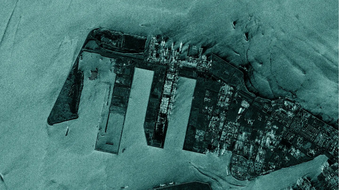
It can be vitally important but highly challenging to get accurate information on the development of new infrastructure in the ports of your interest, as well as extensive activities related to existing infrastructure.
With SAR satellite data, you can monitor detailed changes in port infrastructure. The imagery provides detailed information on construction and operational activities, down to millimeter-scale changes. Be up to date on what is happening in each port of interest.
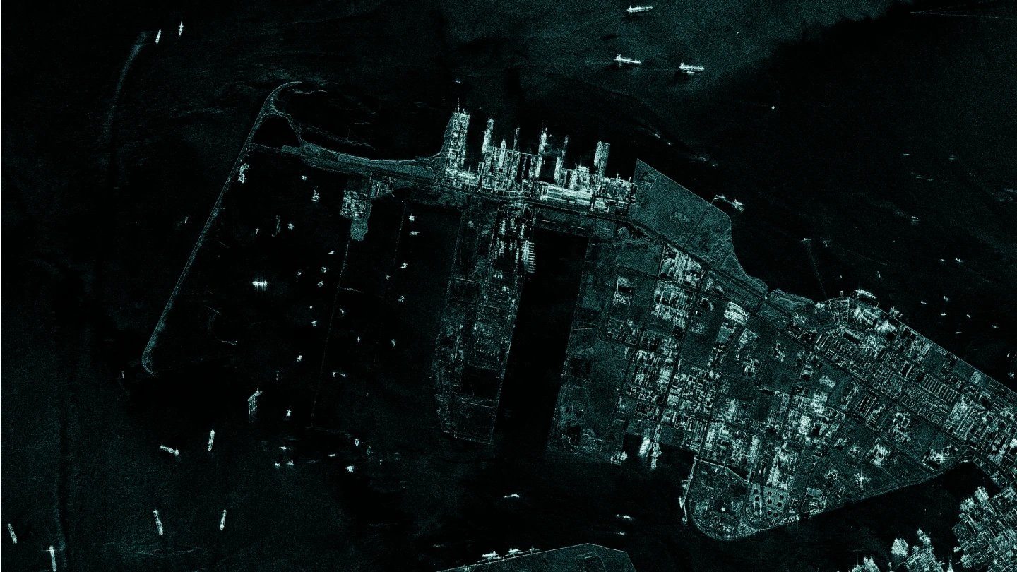
For reasons of national security, it can be crucial to know of any intensified transportation of goods and equipment happening in specific ports. Information like this is difficult to obtain using conventional methods.
ICEYE’s constellation of SAR satellites enables you to monitor shipments of containers and other goods, frequently and in great detail. The radar images deliver information about the volume, the frequency of transport, and the type of cargo. Get an early indication of specific actions that might require special security measures.
Download our Application Study to learn how to use ICEYE SAR data to get actionable intelligence on port operations, anywhere in the world.
Case study
Know what is happening at your borders and beyond.
Watch strategic sites and detect changes.
Oversee forests and identify activities.
Detect suspicious maritime activities.