Contact us
Get in touch with our experts to find out the possibilities daily truth data holds for your organization.

Use cases
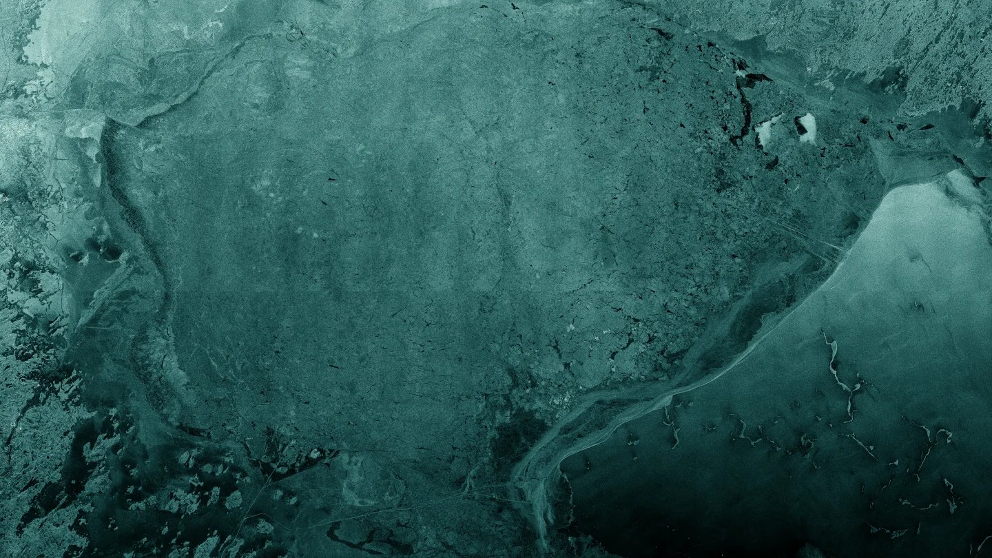
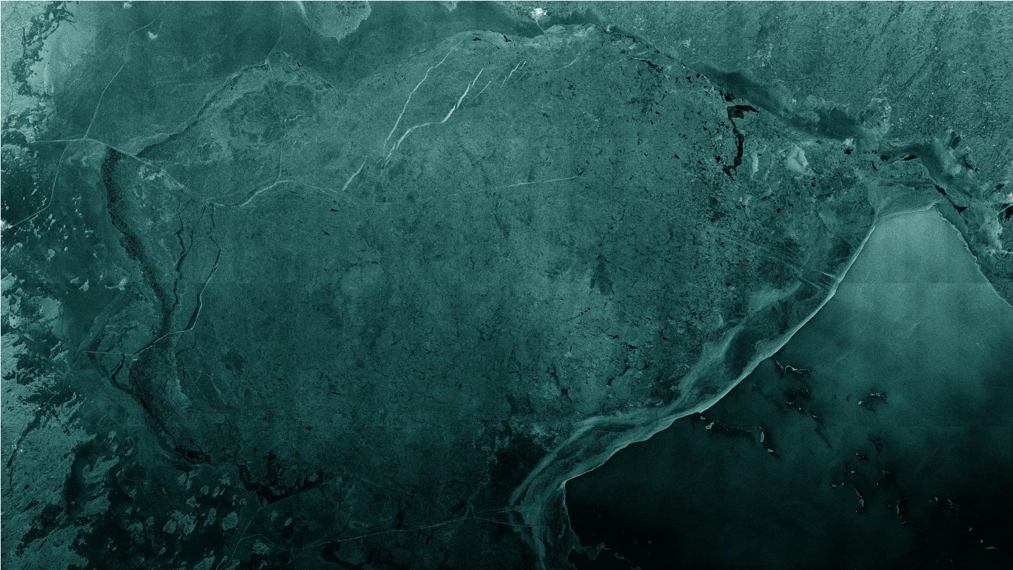
Get reliable data on ice conditions, movements, and locations in icy waters with the world’s leading SAR satellite data.
Safe shipping and navigation in ice-covered waters are crucially important for northern countries where trade is dependent on shipping, and therefore cargo vessels must have conditions to run smoothly throughout the year.
To ensure the safety and efficiency of operations, the most recent data on ice conditions is required. Persistent sea ice monitoring with ICEYE radar satellite imagery provides frequently updated data that ensures maritime safety. You can track icebergs and ice movements with possible predictions and obtain data streams for iceberg mapping and ice charting.
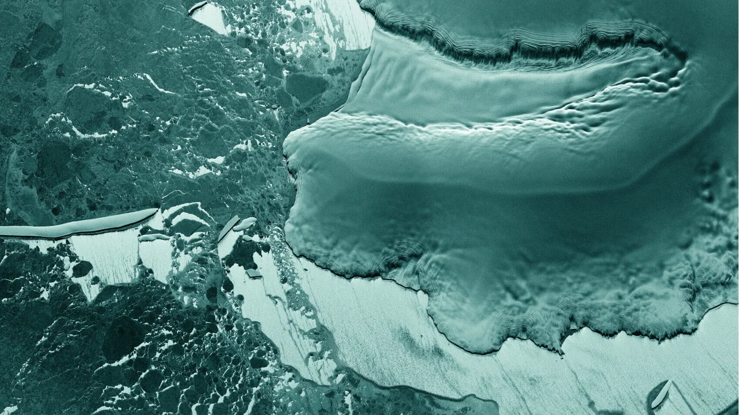
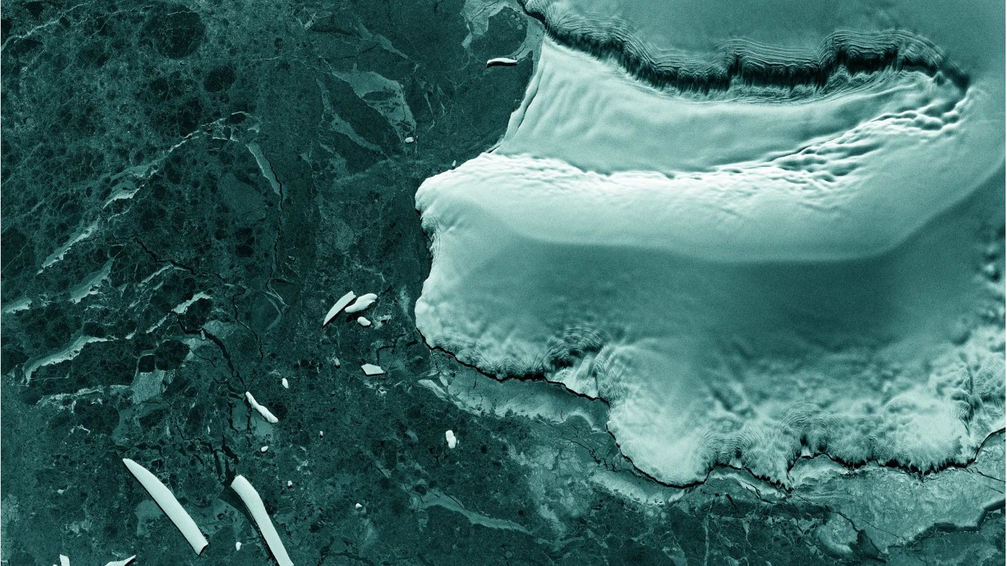
Climate change has a significant impact on ice formations in many regions, including vast Arctic and Antarctic areas that are highly difficult to monitor. To understand the effects of climate change, researchers need reliable and detailed information about changes in ice formations.
Using the world’s leading SAR satellite data from ICEYE, you can identify changes in sea and terrestrial ice formations in any region of your interest, daily or even several times a day.
Know what is happening at your borders and beyond.
Watch strategic sites and detect changes.
Oversee forests and identify activities.
Detect suspicious maritime activities.