Contact us
Get in touch with our experts to find out the possibilities daily truth data holds for your organization.

Helsinki, FINLAND – June 10, 2021 – ICEYE, Finnish New Space and global leader in persistent monitoring of the Earth through its constellation of radar imaging satellites, announced today that the ESA Earth Observation Programme Board has approved the integration of ICEYE’s satellite imagery into the Third Party Missions (TPMs) data portfolio. Through this programme, ESA facilitates access to ICEYE’s SAR data free-of-charge for scientific, research and pre-operational Earth Observation based applications.
“We are delighted to join the prestigious ESA Earthnet TPM Programme. The programme is an incredible resource for the global Earth observation community, and especially for research data users.”, said Tero Vauraste, Regional Director Europe, ICEYE. “As the first New Space organization to do so, ICEYE provides data in all radar imaging modes through the programme: Spot, Strip, Scan. With these, data users have sponsored access to the full range of SAR imagery from very high resolution to wide area coverage.”
ESA, through the Earthnet Programme offers free-of-charge data to international Principal Investigators from a variety of EO satellite missions developed and operated by space agencies and by commercial data providers. The data can be used for research and development of applications for pre-operational use. ESA also utilizes Third Party Satellite imagery for its own projects. ICEYE imagery was thoroughly and successfully validated in previous programme stages under the Earthnet Data Assessment framework before becoming part of the full TPM portfolio.
“We are very pleased to welcome ICEYE as a Third Party Mission partner and to disseminate its SAR satellite images through the ESA Earthnet Programme.”, said Peggy Fischer, Mission Manager of ESA Third Party Missions. “ICEYE's constantly growing satellite constellation and the high quality of SAR images are an unprecedented data source and an asset for ESA’s Third Party Mission portfolio.”
All current ICEYE imaging modes are offered through this programme. Users get access to the very high-resolution Spot imaging mode covering areas of 25 km2, the high-resolution Strip and the recently launched Scan imaging mode covering areas of 10,000 km2, respectively. It is possible to obtain archive data or request new image acquisitions.
The ESA TPM process includes the submission of a project proposal on the ESA Earth Online portal.
The TPM program, funded under ESA's Earthnet program, has been in existence for more than four decades and has established global collaboration between space agencies, mission and data providers for the benefit of the Earth Observation community.
# # # # #
About ICEYE
ICEYE empowers commercial and government partners with unmatched persistent monitoring capabilities for any location on Earth. The company helps customers make informed, data-driven decisions to address time-critical challenges in various industries, to ensure infrastructure safety, and to protect the environment. ICEYE’s radar satellite imaging service, designed to deliver very frequent coverage, both day and night, helps clients resolve challenges in sectors such as maritime, disaster management, insurance, and finance. For more information, please visit: www.iceye.com
Other assets available at https://www.iceye.com/press.
Download images by right-clicking and selecting "save link as":
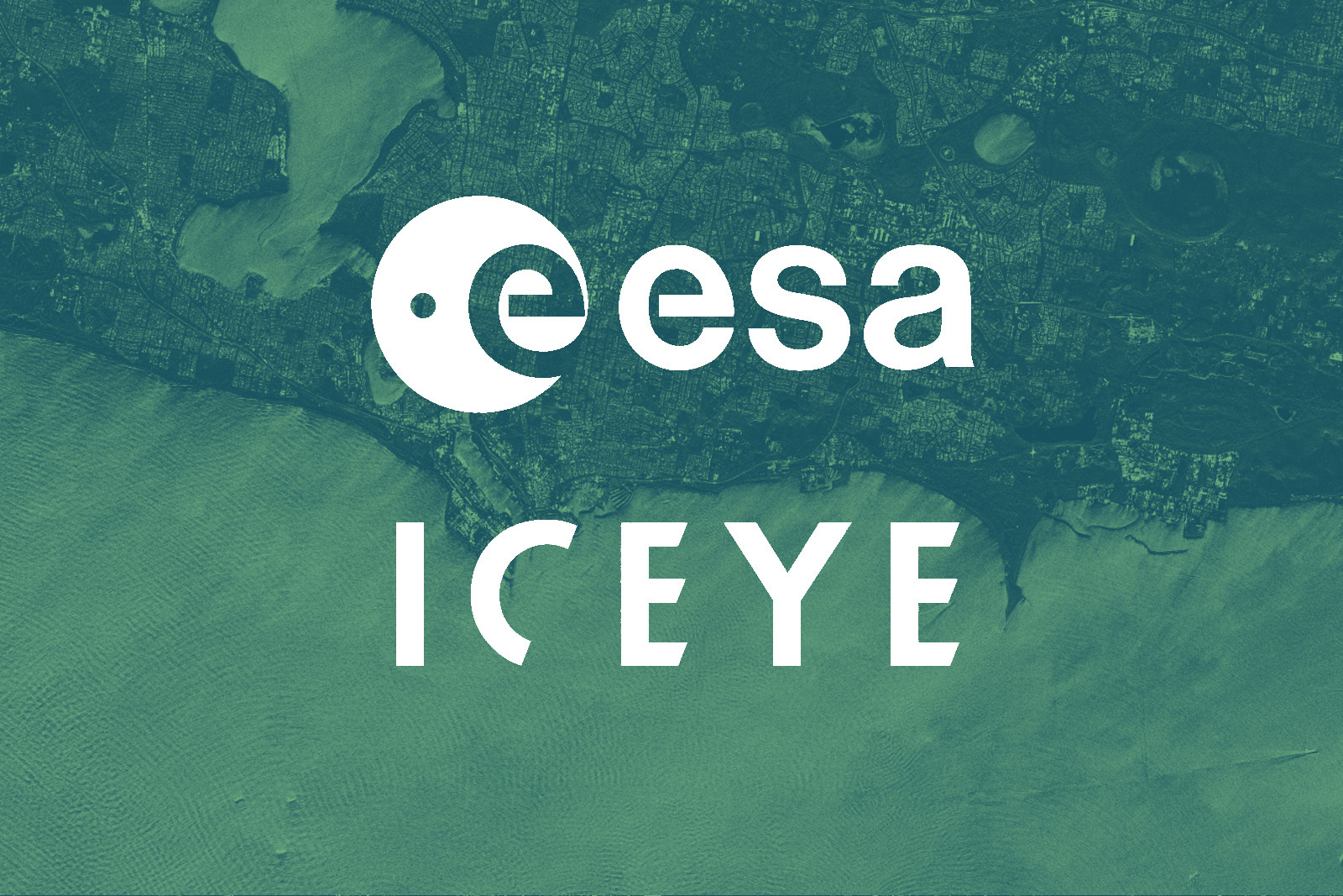
“ESA and ICEYE logos on top of ICEYE SAR satellite image of Fremantle, Australia.”
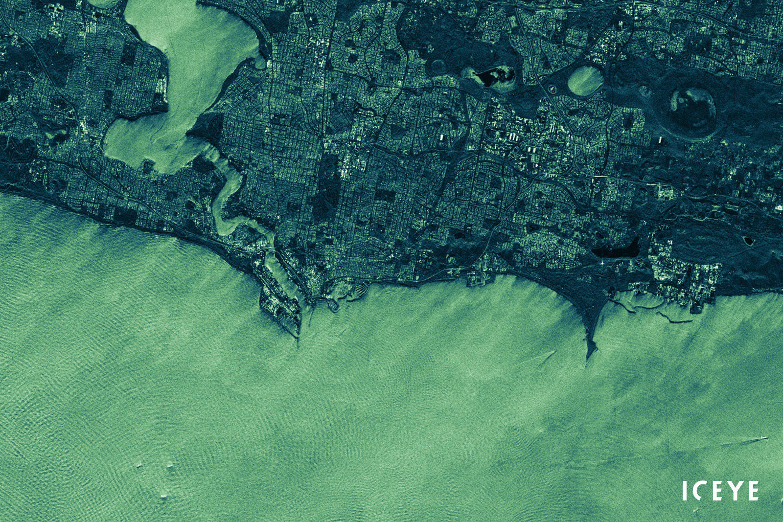
“A radar image of Fremantle, a port city in Western Australia, taken in the Strip imaging mode with an ICEYE SAR satellite.”
![]()
ICEYE logo.