Rapid Situational Awareness with ICEYE
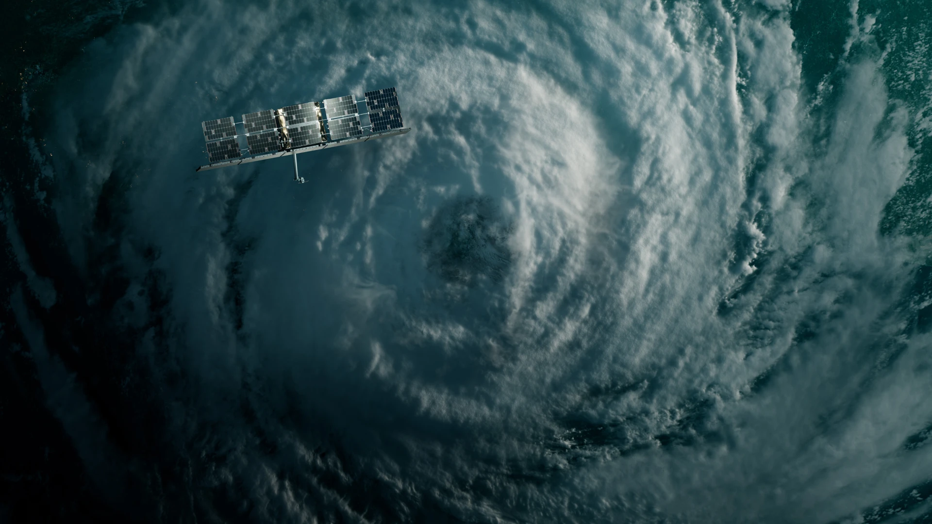
Get ready for the Atlantic hurricane season
with world-leading flood and emerging rapid damage assessment products
Equip your team with observation-driven data
Disaster preparedness for insurers
Deploy field resources with confidence
We help insurers visualize and assess the storm's impact. This allows them to deploy field resources to customers ahead of the storm to install resilience measures or mitigate the impact of the natural disaster. It also facilitates proactive and targeted outreach to those anticipated to be affected.
Optimize policyholder communication
Integrate ICEYE's solution with your existing GIS tool to rapidly visualize local impacts and overlay flood and damage extent layers with other geospatial data. By shifting from reactive messaging to targeted and prescriptive advice, your team can improve hurricane response and recovery outcomes.
Pro-actively manage the complexity of flood and water claims
Identify customers early who may have been affected by wind and flood water damage, especially those not covered for flood damage. To prevent costs that may later need to be recovered, assign skilled adjusters to handle the claim and set your customers' expectations on the coverage afforded.
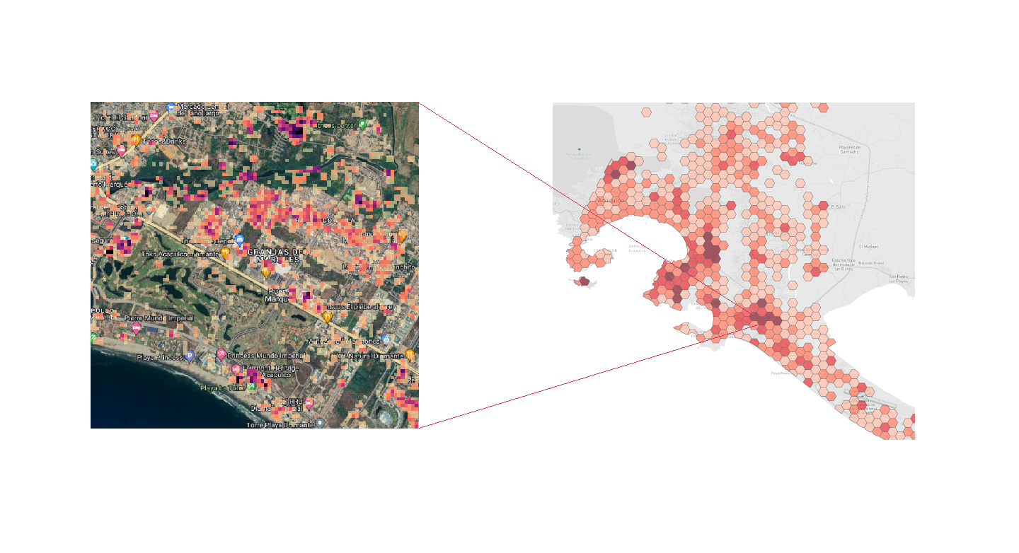
Observe water-related impacts day or night, even through clouds
ICEYE Flood Solutions
Uninterrupted visibility
Because SAR satellites observe Earth with radar waves instead of optical sensors, they ensure reliable captures in any conditions. With 30+ radar satellites, rapid tasking, and 4x (or more) daily re-visits, our flood monitoring is always on. This uninterrupted visibility enables your teams to respond faster on the ground and size losses more effectively.
Multi-source analysis
While SAR satellites power all our natural catastrophe monitoring solutions, remote sensing data is only one source of the final output. Our Flood Solutions also incorporate intel from local observations, river gauges, and third-party data sets. This near real-time holistic analysis yields actionable flood intel your teams can trust.
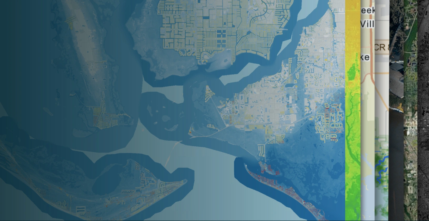
Ease of data access
ICEYE delivers GIS-ready flood intelligence that smoothly integrates into the claims processing and GIS systems currently employed by insurers, providing critical, observation-driven data where it is most needed. Initial insights are ready within hours and updated daily as a flood evolves.
Organizations we work with