
Track strategic areas for heightened activity
Support strategic decision-making with reliable satellite data
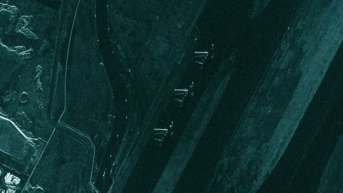
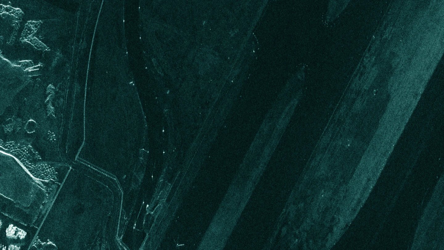
Challenge
Airports and other sites in inaccessible locations are challenging to monitor. How do you detect and classify out-of-the-ordinary objects and activity that could be a threat to national security?
Solution
With ICEYE SAR satellites, you can identify potential threats in one or many locations simultaneously. Detect stationed planes, helicopters, and other equipment. Determine if aircrafts or vehicles have been moved in the last 24 hours, and be aware of any non-routine activities.
Monitor any strategic site
Download our Application Study to learn how to use ICEYE SAR data to obtain actionable insights on the unusual concentration of aircrafts, vehicles, and equipment in any strategic site on the globe.
Application study