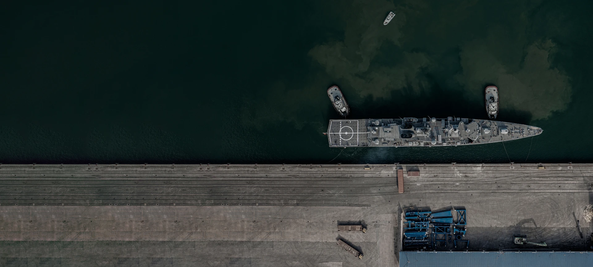
Track port activity with ICEYE SAR satellite imagery
Support strategic decision-making with reliable satellite data
Monitor strategic ports
With ICEYE SAR satellite data, you can regularly monitor any port in the world. By imaging your location of interest daily from the exact same location in space, ICEYE enables a level of change detection that has never been possible before.
Detect, classify, and analyze activity even through cloud cover
Thanks to the high resolution of ICEYE Dwell mode imagery, you can even classify vessels in ports. Vessels relying on nighttime and cloud for cover cannot hide from the world’s most advanced SAR satellite imaging.
These daily coherent radar satellite images taken with ICEYE satellites show the changes in vessel locations in the largest seaport in Europe - the Port of Rotterdam, Netherlands. Thanks to the very high resolution of the ICEYE SAR images, you can classify as well as detect vessels.
Challenge
Awareness of vessel activities in specific ports can be critical for national security reasons. Due to inaccessible locations from the air and the sea, regular observations are a common challenge.
Solution
The world’s leading SAR satellite data from ICEYE enables you to persistently monitor any port in the world, regardless of clouds, fog, or darkness. You can get timely imagery on a daily or even sub-daily basis. Stay constantly aware of activities taking place anywhere. Get the actionable information you need for national security.
Monitor any port, every day
Download our Application Study to learn how to use ICEYE SAR data to get actionable intelligence on port operations, anywhere in the world.
Case study
Monitor any port
Want to know more?
Reach out to learn how your organization can gain unparalleled control and flexibility through your own dedicated satellite or capacity.