SIZING FLOOD LOSSES WITH ACCURATE OBSERVATION DATA
What if you could generate expected portfolio loss numbers quicker and more accurately than ever before? Optimize your risks and streamline your disaster response with ICEYE's Flood Insights.
Get
the
ebook

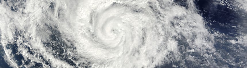
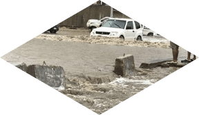
Observe floods day,
night, and through
clouds...
...augment with
traditional flood
data...
...and account
for terrain and
hydrology to
generate...
...actionable output
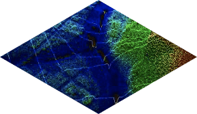
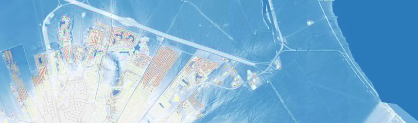
SAR satellite imagery
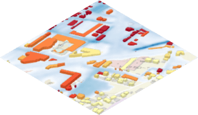
Optical satellite imagery
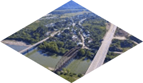
Aerial imagery
Open-source imagery
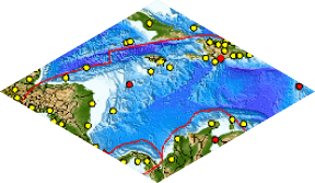
River / tidal gauges
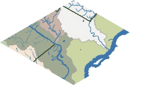
Watersheds
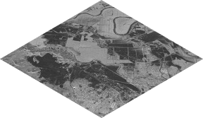
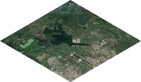
Digital elevation models
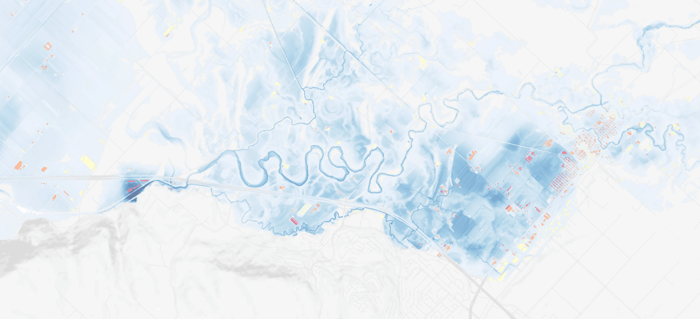
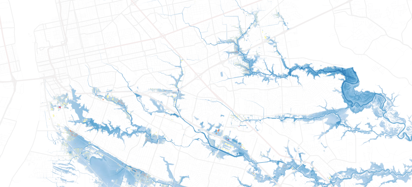
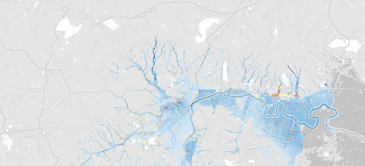
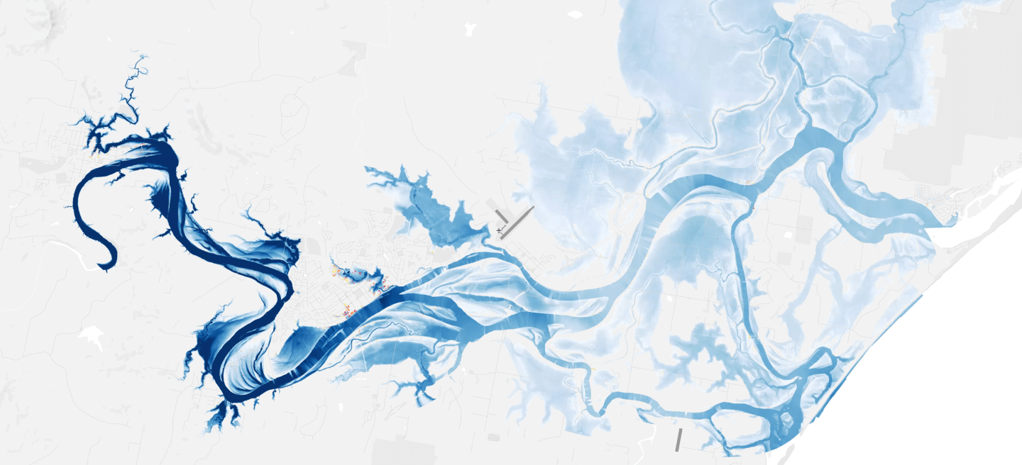
Flood extent & depth

THE ART OF THE POSSIBLE FOR (RE)INSURERS
The ability to accurately size losses based on observation data presents a significant opportunity for the insurance industry.Explore the possibilities of ICEYE’solution for your operations by downloading our eBook.
EBOOK - SIZING FLOOD LOSSES WITH ACCURATE OBSERVATION DATA