Contact us
Get in touch with our experts to find out the possibilities daily truth data holds for your organization.
9 min read

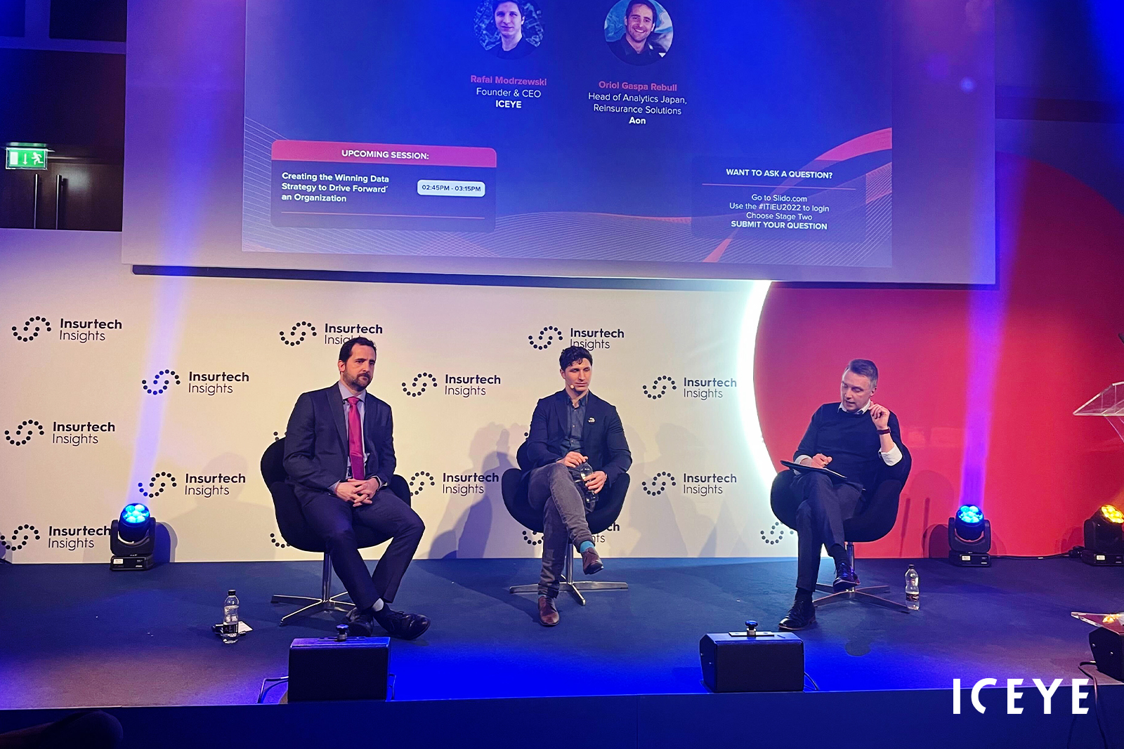
During their fireside chat on stage at Insurtech Insights Europe, Oriol Gaspa Rebull, Aon Japan’s Head of Analytics, and Rafal Modrzewski, our CEO and Co-Founder, discussed the exciting potential that comes from accessing this independent and verifiable flood hazard data.
The partnership between Aon and ICEYE kicked off in November 2021 with an initial objective of providing insurers with detailed flood loss insights following severe events in Japan.
Oriol leads the catastrophe management, actuarial and research and development teams, providing risk assessments to insurance clients and their reinsurance markets to enable effective risk transfer. His team at Aon couples ICEYE’s high-resolution flood hazard data - including insights collected from its 16-strong dedicated constellation of SAR satellites - with the broker’s own financial assessments to offer insurance clients immediate feedback on flood events as they unfold.
“ICEYE has been influential because, up until now, we didn’t have access to that information for flood - there was huge uncertainty for the range of loss,” he said. “So that quick assessment, which gives you the bulk of a loss and then ongoing monitoring updates, are extremely useful.”
“ICEYE is not an insurance company, and so we don’t have that expertise and knowledge,” added Rafal. Essentially, ICEYE’s goal is to empower both public sector entities and commercial organizations to make better decisions by providing access to timely and reliable satellite imagery and fully operationalized hazard data. “That’s why it’s so complementary to have two different organizations coming at this problem from two different areas. We bring the data and knowledge on how to best capture the hazard, and then Oriol and his team say, ‘this is how we are going to transform the hazard into the ultimate loss exposure for the customer’.”
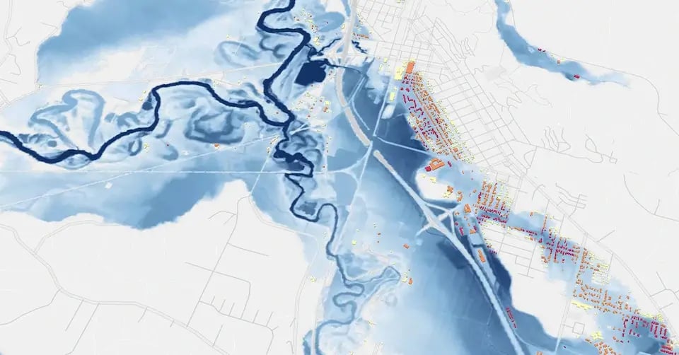
ICEYE Flood Briefing on the flooding in Washington state, USA in January 2022. Download the Briefing here.
Oriol also highlighted that it had been interesting working with clients through the claims process to see what decisions they had been making in the absence of accurate loss data. This had made it difficult to determine where to send loss adjusters first.
“If you have no idea which cities have been flooded, how strong the flood event was, how much water was there, then how are you actually going to reasonably decide how many adjusters you’re going to send?”, he asked.
For his team, access to ICEYE’s datasets is a game-changer, he added. “Now, having access to that data, you can actually make the right decision in the right order - it’s huge.”
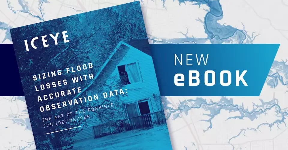 Sizing Flood Losses with Accurate Observation Data. Download the eBook here.
Both Oriol and Rafal agreed that the insurance industry is just beginning to understand how it can leverage the ability to accurately size flood losses by using new space technology. With the increase in catastrophic flood events in recent years, and the growing impacts of climate change, the need for greater access to comprehensive, accurate and consistent data that helps bridge this gap is more pressing than ever.
The more immediate use cases are enhancing the claims process and building new parametric products. “I don’t think there’s anything that’s blocking it,” added Rafal. “People are aware that the data is coming, and the technology can help them make better decisions and products. It’s honestly just a lot of hard work that’s needed to fully take advantage of the data that’s available, and we’re working closely with our partners to help them get the most from this.”
As illustrated by this example with Aon, ICEYE’s flood insights can be overlaid with (re)insurers’ portfolios to rapidly determine whether their book of business has been impacted by an event, how large the impact is, and what loss can be expected at the portfolio level, per property, or both. Similarly, the company’s growing partnership program will enable fast access to flood insights and loss sizing capabilities in industry-leading geospatial platforms.
“Fuelled by the success of this first solution and partnership [with Aon], we’re already starting to look at what are all of the other decisions that we can support and make more efficient through that combination of resources and knowledge that both companies have,” Rafal concluded.
Looking ahead, there is enormous potential for other catastrophic and non-modelled perils - including wildfire -, persistent asset monitoring (PAM), and the ability to monitor losses from manmade events, for example, industrial fires, explosions or losses in the construction and engineering sector.
28 February 2024
15 February 2022
27 July 2022