Satellite-render_space_US_hero_medium_mobile

Australia’s sovereign intelligence, surveillance and reconnaissance from space

Persistent intelligence across the Indo-Pacific

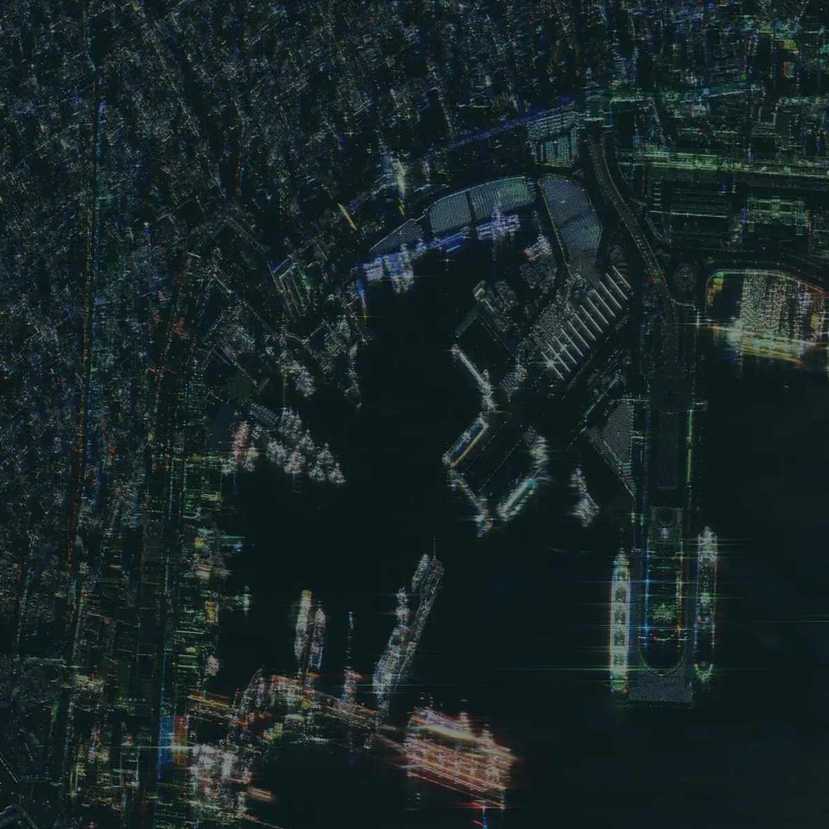
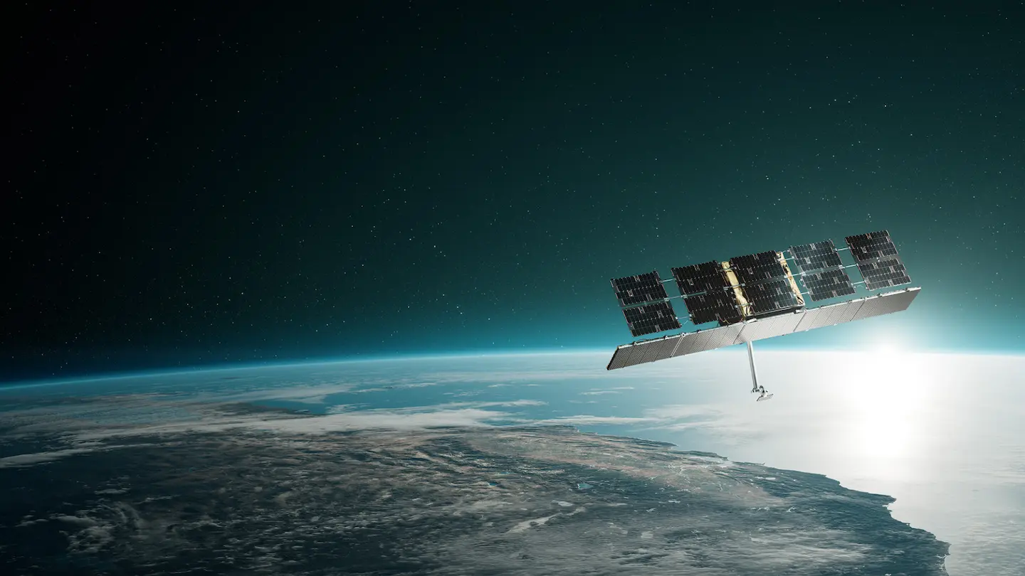
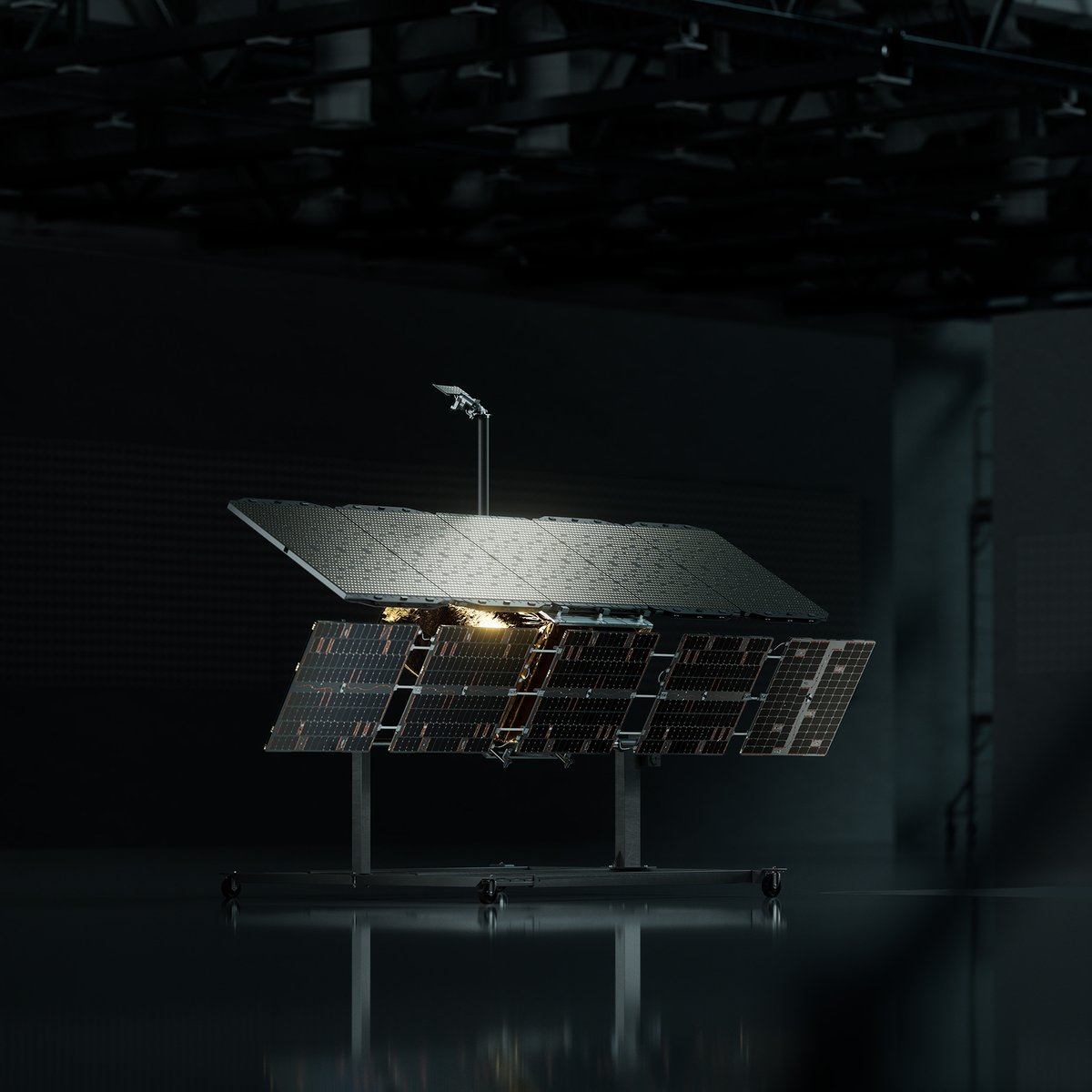
Australia's area of strategic interest spans millions of square kilometres, from the South China Sea to the Southern Ocean. ICEYE delivers sovereign synthetic aperture radar (SAR) satellite capability that enables Australia to monitor this region day and night, through any weather. With satellites delivered launch-ready in as little as 12 months, and technology proven in NATO and allied operations, ICEYE provides a fast, reliable path to sovereign space-based intelligence.

video-placeholder-image

Discover Real Persistent Monitoring

ICEYE

Latest news

September 1, 2026

ICEYE Speaks on Critical Infrastructure at Australian Space Forum

ICEYE took part in a panel discussion at the Australian Space Forum in Adelaide, addressing what happens to Australia's critical infrastructure when space capabilities are compromised.

September 1, 2026

Building Sovereign Space Ties: ICEYE's Engagements During Minister Tavio's Australia Visit

Finland's Minister for Foreign Trade and Development, Ville Tavio, recently led a delegation of Finnish companies through Australia and New Zealand, part of a broader push to deepen trade and defence cooperation between Finland and the region.

June 24, 2026

ICEYE wins Australian Space Awards

ICEYE, the world leader in sovereign intelligence from space, has been named Earth Observation Program of the Year at the 2026 Australian Space Awards.

May 6, 2026

ABC News: Finland's world-leading defence tech could soon come to Australia

The company that provides much of Australia’s real-time satellite disaster surveillance may soon also share its defence technology, as Finland becomes the latest European nation to deepen security ties.

Mar 18, 2026

How to close the disaster intelligence gap in Australia

How ICEYE SAR technology delivers decision-ready data through smoke, cloud, and darkness for Australian emergency managers.

Mar 10, 2026

Victoria's bushfires explained

ICEYE's Senior Meteorologist breaks down the environmental signals behind Victoria's bushfire outbreak and why risk conditions remain elevated into autumn.

Mar 3, 2026

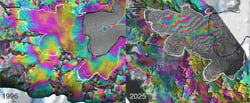
30-year Antarctic study reveals massive ice loss using ICEYE radar data

A UC Irvine-led study published in the Proceedings of the National Academy of Sciences used ICEYE SAR data to track ice sheet changes across key Antarctic sectors.

Nov 27, 2025

ICEYE and Esri Australia partner for hazard intelligence

ICEYE's flood and bushfire intelligence products now available as ready-to-use map layers within the ArcGIS platform across Australia.

Events

October 6-8, 2026

Land Forces 2026

Perth, Western Australia

ICEYE will be at Australia’s largest land defence exposition. Book a meeting to see how space‑based ISR supports land force operations across the Indo‑Pacific.

Contacts

KennySq1

Kenny Yuen

Vice President Missions, Australia & New Zealand

Phil Ridley

Phil Ridley

Data Sales Director, Australia & New Zealand

Tristan

Tristan Dowler

Strategic Account Manager, Australia & New Zealand

Downloads

Explore ICEYE resources that demonstrate how SAR satellites turn change on the ground and at sea into clear, decision‑ready intelligence for defence, emergency management and civil partners.

Brochure

Missions brochure

Get to know the fastest way to owning a sovereign space-based ISR system.

Brochure

SAR data brochure

Learn more about ICEYE SAR satellite data for persistent monitoring, and specific imaging modes.

Case study

ICEYE & Transport for NSW

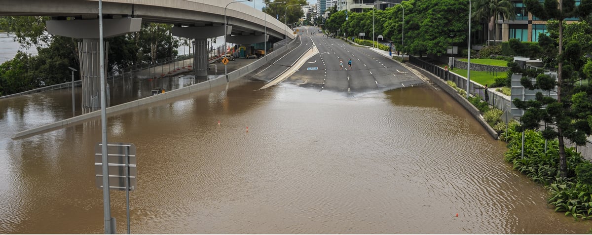
ICEYE Flood Insights defined flood boundaries and verified impact after Ex-Tropical Cyclone Alfred.

Flood briefing

Ex-Tropical Cyclone Alfred

Download ICEYE's analysis on the severe flooding and wind damage from Ex-Tropical Cyclone Alfred

Flood briefing

Cyclone Narelle Flood Briefing

Download ICEYE's 2026 Cyclone Narelle Flood Briefing.